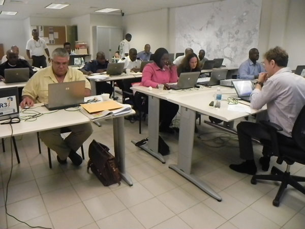
Last week 19 persons from various government entities on Sint Maarten (17), Anguilla (1) and the British Virgin Islands (BVI) (1) took part in part two of the Geographic Information Systems (GIS) and Remote Sensing Course for Infrastructure Management and Disaster Risk Reduction. There has been a rapid growth in the use of digital spatial and temporal data in many aspects of disaster management, for example, preventive planning, response and recovery. Section Head of Disaster Management Paul Martens said the course was successfully concluded last week. "The aim of the course was to provide both a theoretical understanding and practical hands on introduction to the use of GIS and remote sensing technologies for the analysis and solution of different infrastructure and disaster management problems," Martens told the Department of Communication (DCOMM) on Sunday. The course is the second one on GIS and Remote Sensing, with the first one held back in August 2011. The 17 participants from Sint Maarten came from the Fire Department and the Ministry of Public Housing, Spatial Development, Environment and Infrastructure. The course was scheduled from February 6-8 and was held in the conference room at the Sint Maarten Fire Department in Cay Hill.