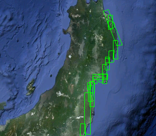
On the anniversary of the japanese earthquake and tsunami Google Maps published new satellite imagery of the affected areas. The GeoEye high-resolution imagery covers the Northeastern coast from Hachinohe in Aomori Prefecture down to Hitachi City in Ibaraki Prefecture. The imagery was taken in February and March 2012. Since the disasters struck Japan on 11 March 2011, Google has continuously been updating satellite and aerial imagery of the area to show the effects of the disaster and the pace of the rebuilding process. The imagery is available on Google Maps as well as on Google Earth.