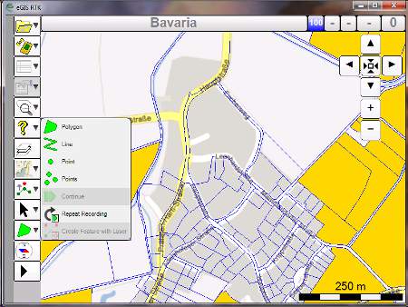
Topcon Europe Positioning has introduced eGIS PC, a handheld mapping software solution designed for Windows-based tablets. This software allows users to create, edit and display map geometry and attributes, view data which has been overlaid on one of the many web mapping systems available and is fully compatible with the industry standard ESRI ArcPad SHP file format. Designed for GIS data collection specifically for use with GNSS-powered PC devices, or devices with external GNSS modules such as the HiPer SR or GR-5, eGIS PC allows for all mapping activities from autonomous level measurements all the way up to up to RTK centimetre level accuracy.