![]()
United
Nations
Geomatica 2018
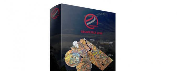
| Description: | PCI Geomatics a complete and integrated desktop software that features tools for remote sensing, digital photogrammetry, geospatial analysis, map production, mosaicking and more. Geomatica® software enables users to apply imagery in support of a wide range of applications such as the environment, agriculture, security and intelligence, defense, as well as in the oil and gas industries. Included Features: Utilize a fully georeferenced file based viewer and modern GUI Explore any number of images, any depth (8, 16, and 32 bit), any size, and any resolution Create new vector layers and edit existing ones View, edit, and query the attributes associated with your data Efficiently produce geometrically corrected images and mosaics using the OrthoEngine Sample Data |
| Software type: | Procesamiento de imágenes con computador de escritorio |
| Accessibility: | Solo instalación |
| Computer System: | Windows |
| Scope: | Procesamiento de imágenes |
| Vector/Raster: | Vector, Raster |
| Optical data or radar data format: | Óptico, Radar |
| Costs: | Gratis para probar |
| Tutorials: |
![]()