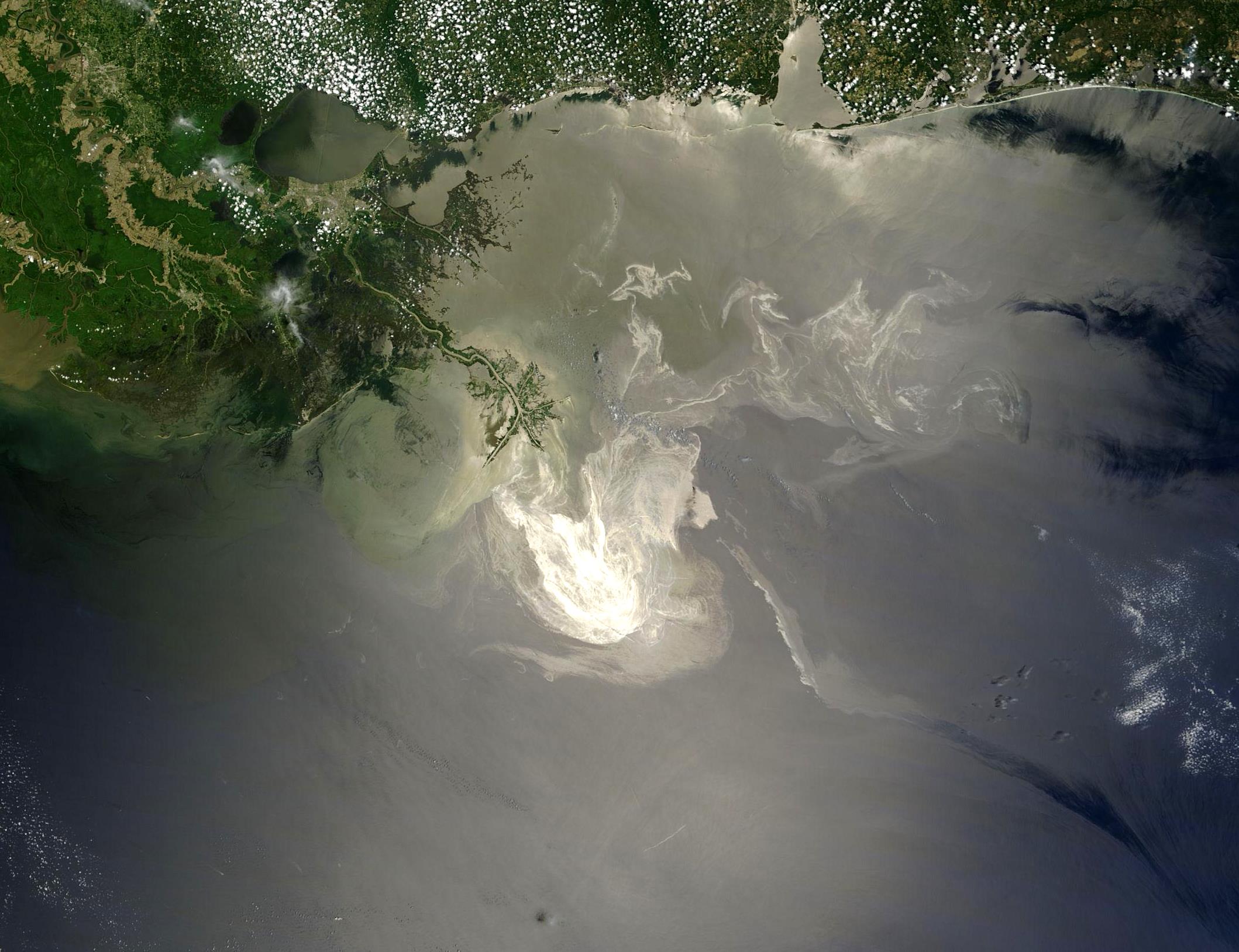
The Bureau of Safety and Environmental Enforcement (BSEE) and the National Oceanic and Atmospheric Administration (NOAA) of the United States offer an Environmental Response Management Application (ERMA) for oil spills in the Arctic region.
ERMA is an interactive online mapping tool equipped with near real-time oceanographic observations, weather data from NOAA and critical information from BSEE and numerous other federal and state response agencies. It was already used by federal responders during the Deepwater Horizon/BP oil spill, and now it has been enhanced to meet the needs of responders in the marine Arctic environment.
In developing this project, NOAA and BSEE have worked with state, local and indigenous communities as well as academia and industry to share information on how ERMA can best support an emergency response and protect the Artic’s unique lifestyle and resources.
This effort will help address numerous challenges in the Arctic where increasing ship traffic and proposed energy development are increasing the risk of oil spills and chemical releases.
| Attachment | Tamaño |
|---|---|
| NOAA and BSEE Press Release (77.96 KB) | 77.96 KB |