![]()
United
Nations
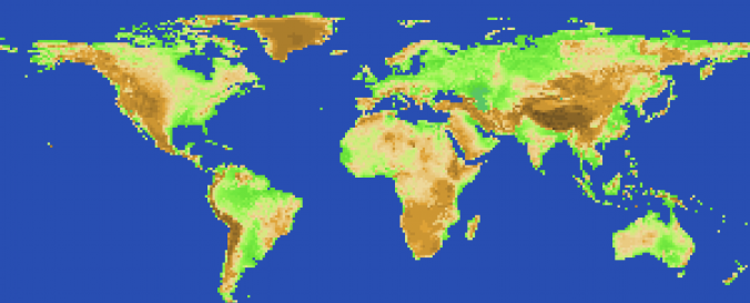
Global Elevation (ISCGM)
| Data provided by: | International Steering Committee for Global Mapping (ISCGM) |
| Data accessibility: | Exportar datos, Exportar mapa |
| Link to the data: | |
| Requirements: | Registration and login here. |
| Data type: | Elevación |
| Hazard: | Mass Movement, Earthquake, Volcanic Eruption, Flood, Pollution |
| Disaster cycle phase: | Gestión des Riesgo por Desastres, Respuesta, Recuperación |
| Spatial coverage: | Global |
| Spatial resolution: | 1000 |
| Temporal coverage: | Archivado |
| Technical Specifications: | |
| Costs: | Gratis |
| Contact: | Contact |
| Restrictions/ Citation of the dataset: | The data source should be cited and copyright indicated on the product. Here you see more on the "Agreement for use". |
Provider
![]()