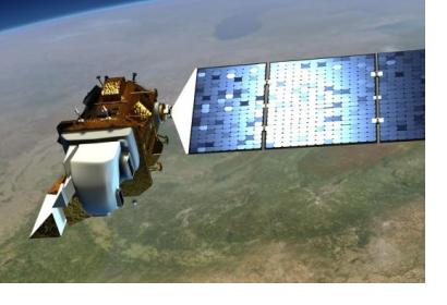
NASA and the U.S. Geological Survey (USGS) have started work on Landsat 9, planned to launch in 2023, to continue the observing programme of Earth’s land cover. Since 1972 one of the eight satellites in the Landsat program has photographed the entire Earth every 16 days and provide accurate measurements of Earth’s surface.
With this big data, derived from decades of observations, scientists can for example tease out changes in ecosystems like deforestation in South America, the effects of climate change and many other activities that alter the landscape. According to NASA the programme’s open archive also helps fire fighters to assess the severity of wildfires or scientist to map the retreat of mountain glaciers.
“Moving out on Landsat 9 is a high priority for NASA and USGS as part of a sustainable land imaging program that will serve the nation into the future as the current Landsat program has done for decades,” said John Grunsfeld, associate administrator for science at NASA Headquarters, Washington. “Continuing the critical observations made by the Landsat satellites is important now and their value will only grow in the future, given the long term environmental changes we are seeing on planet Earth.”
Jeffrey Masek, Landsat 9 Project Scientist added: “The longer the satellites view the Earth, the more phenomena you can observe and understand. We see changing areas of irrigated agriculture worldwide, systemic conversion of forest to pasture – activities where either human pressures or natural environmental pressures are causing the shifts in land use over decades.”

