![]()
United
Nations
Near Real-Time Fire Detection and Monitoring (EOSDIS - NASA)
| Data provided by: | National Aeronautics and Space Administration (NASA) |
| Data accessibility: | export data, export map, visualization of data (e.g. web GIS or real time monitoring) |
| Link to the data: | |
| Data type: | hazard specific data |
| Hazard: | Forest Fire |
| Disaster cycle phase: | Disaster Risk Management, Response, Recovery |
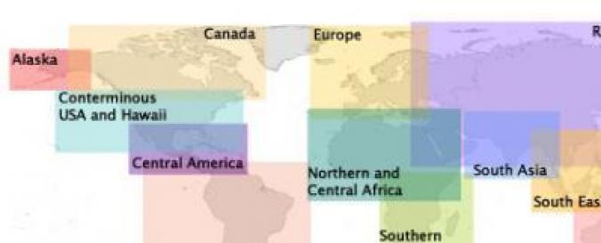
| Spatial coverage: | Global |
| Spatial resolution: | 1000.00 |
| Temporal coverage: | Archive, Near-real time |
| Costs: | free |
| Tutorials on the use of data: | How to use active fires SHP, How to use active fires KML, How to use active fires WMS, How to use active fires TXT |
| Restrictions/ Citation of the dataset: |
Provider
![]()