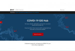
On the COVID-19 GIS Hub, ESRI provides maps, datasets, applications, and more to support users in responding to COVID-19. The materials are updated with new information as it becomes available.
The page also features a link to the ArcGIS COVID-19 Application Index (System of Systems), which provides an overview of dashboards created worldwide.