![]()
United
Nations
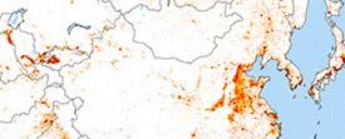
MODIS 500-m map of global urban extent (SAGE)
| Data provided by: | Nelson Institute, Center for Sustainability and the Global Environment (SAGE), University of Wisconsin-Madison |
| Data accessibility: | export data |
| Link to the data: | |
| Data type: | land use, land cover data |
| Disaster cycle phase: | Disaster Risk Management, Response, Recovery |
| Spatial coverage: | Global |
| Spatial resolution: | 500 m |
| Temporal coverage: | Archive |
| Content dates: | 2001 - 2010 |
| Costs: | free |
| Contact: | Annemarie Schneider |
| Restrictions/ Citation of the dataset: | Please cite following publications when using the datasat: Schneider, A., M. A. Friedl and D. Potere (2009) A new map of global urban extent from MODIS data. Environmental Research Letters, volume 4, article 044003. Schneider, A., M. A. Friedl and D. Potere (2010) Monitoring urban areas globally using MODIS 500m data: New methods and datasets based on urban ecoregions. Remote Sensing of Environment, in review.
|
Provider
![]()