![]()
United
Nations
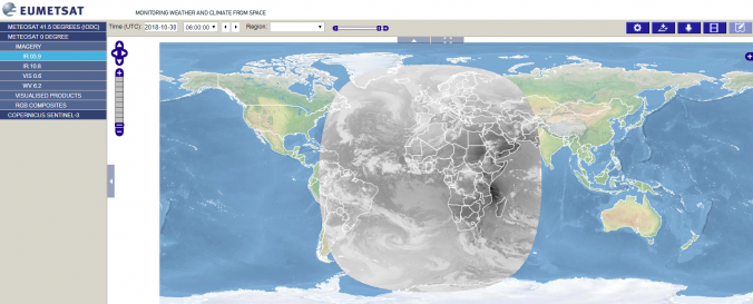
EUMETSAT Image Gallery
| Data accessibility: | Exportar datos, Visualización de datos (ej. web SIG o monitoreo en tiempo real), Procesamiento web/computación en la nube |
| Link to the data: | |
| Data type: | Datos satelitales o imágenes aéreas |
| Hazard: | Epidemic, Harmful Algal Bloom, Insect Infestation, Forest Fire, Drought, Earthquake, Tsunami, Volcanic Eruption, Flood, Severe Storm, Extreme Temperature, Pollution |
| Space-based Information: | Map Viewer that allows downloading and time series creation of meteosat products. |
| Satellites and Sensors: | Meteosat-8 (SEVIRI) |
| Spatial coverage: | Global |
| Technical Specifications: | |
| Costs: | Gratis |
| Contact: | Contact |
| Restrictions/ Citation of the dataset: |
Provider
![]()