In recent years, Guatemala has been affected by a variety of natural hazards including tropical storms, landslides, droughts and volcanic eruptions. Such events have triggered disasters that have forced the government to request humanitarian assistance, and to rethink its reconstruction efforts with risk management practices in mind. In order to generate and make better use of geospatial information to support risk management and emergency response several government agencies are setting up the Inter-institutional Remote Sensing and Geographical Information Group for Risk Management and Disaster Response. This was a key recommendation made by UN-SPIDER during the 2010 Technical Advisory Mission to Guatemala.
The main goals established by the group include: strengthening the capacity of the State of Guatemala to generate information to be used in the decision-making process through a multi-sectorial and inter-institutional approach; and increasing the use of information generated by government agencies through its adaptation into a geo-spatial format.
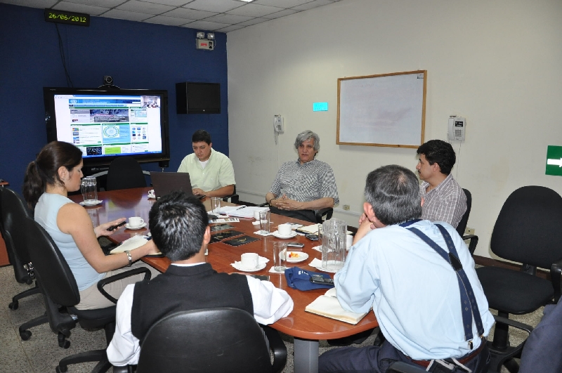
In recent months, the members of the group have been outlining a strategic framework and a plan of action to be implemented in the coming years. Four key strategies are included in this framework: Information management, publication and dissemination of information generated by the group, capacity building and institutional strengthening and coordination mechanisms and support in case of disasters. Among the activities foreseen to be carried out by the group in the coming months, the following stand out:
- An inventory of satellite images as a way to enhance their use by the group;
- An effort to homogenize existing hazard, vulnerability and risk maps;
- The establishment of a clearinghouse for the group;
- The design and implementation of a Spatial Database Infrastructure incorporating remote sensing data;
- The conduction of training activities and elaboration of guidelines to make use of remote sensing applications to generate information for risk management and emergency response;
- The establishment of a library of documents.
The initial agencies conforming this group include the Secretariat for Planning and Programming of the Presidency of Guatemala (SEGEPLAN), the National Coordinating Agency for Disaster Reduction (CONRED), the National Geographic Institute of Guatemala (IGN), the National Institute of Seismology, Vulcanology, Meteorology and Hydrology (INSIVUMEH) and the Registry of Cadastre Information of Guatemala (RIC). It is expected that other government ministries and agencies will also join this effort soon.
The group is being institutionalized through a Memorandum of Understanding among all the government agencies, which is being signed by the Directors of these agencies. Once signed, the group will be in a position to interact with regional and international organizations, including UN-SPIDER. In addition, the group is expected to establish links with similar groups already operating in Mexico, Jamaica and Chile, as well as with other on-going efforts such as the Meso-American Territorial Information System and Geo-Sur.