When using space technologies for disaster risk management and emergency response, it is not only important to have access to space-based data and software, but also to workflows for processing and mapping the data in order to develop information products and gain insights into hazards.
For this reason, UN-SPIDER is joining efforts with a wide range of partners and its network of Regional Support Offices to provide step-by-step procedures, so-called Recommended Practices, that have proven effective in creating information products based on remote sensing to assess hazards such as floods, drought and forest fires.
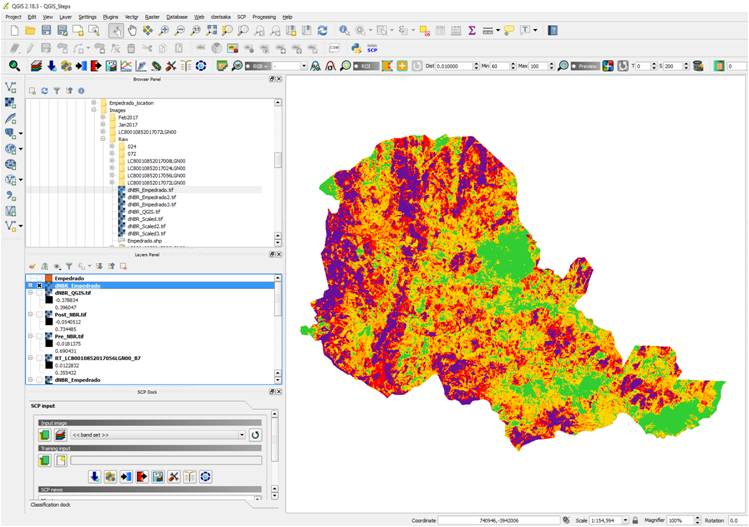
Recommended Practices make use of data from different satellites and sensors, for instance Landsat 8 and Sentinel-2. To allow as many interested users as possible to use these procedures, UN-SPIDER makes them available in a growing variety of GIS software packages and programming languages such as QGIS, R and Python.
Each Recommended Practice consists of an overview, a step-by-step and in detail page. To see all software packages and programming languages a Recommended Practice is available in, navigate to its step-by-step page.
As part of its technical advisory support activities, UN-SPIDER regularly trains civil protection agencies and other stakeholders in developing countries in using the Recommended Practices to develop information product that support that disaster management and emergency response efforts.
If you have questions or wish to share your own experience in applying these Recommended Practices, please contact us.