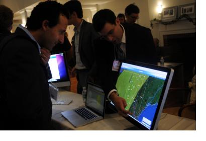
The 4th International Conference of Crisis Mappers (ICCM) took place from 11 to 14 October 2012 in Washington D.C. bringing together experts, practitioners, policymakers, technologists, researchers, journalists, scholars, hackers and skilled volunteers engaged at the intersection between humanitarian crises, technology, crowdsourcing, and crisis mapping.
The Conference was kicked off by a Pre-Conference Training Session with an introduction to Crisis Mapping and presentations about the tools of 1) ESRI Technologies for Crisis Mapping, 2) OpenStreetMap – Humanitarian OpenStreetMap (H.O.T), 3) Ushahidi and 4) FrontlineSMS. The presenters focused on the usage of the different platforms and showed practical examples of their applications. On the second day of ICCM a short introduction was followed by a session of 16 Ignite Talks (e.g. TIDES, CrisisTrackers, USAID, How ICT coordinates humanitarian assistance etc.). This years keynote speech was given by Robert Kirkpatrik from Global Pulse on “Crisis Mapping and Big Data” and its challenge to privacy and validation. A second round of Ignite Talks (Digital Humanitarian Network, HumanityRoad, Google Crisis Response Team etc.) concluded the ICCM's main day.
The third day was organized on invitation-only basis. Self-organized sessions on various topics took place, for example Mapmaking with Tilemill; Participatory Community Mapping and Reporting: Practicalities and Potential for Disaster Preparedness and response; Digital Humanitarian Network: The Network, Activation (including process) & future strategy/concept/ideas; Remote Sensing for Disaster Response; Geek hours; Verifying Crowdsource User-Generated Content on Social Media: Opportunities & Challenges. On the occasion of this self-organized session for the first time within the framework of the ICCM “Random Hacks of Kindness (RHOK)” took place and some insight to the Technical Community (Geek Hours) was given.
ICCM's fourth conference day was completed by a Simulation Exercise organized by the Digital Humanitarian Network (DHNetwork). The purpose of the DHNetwork is to leverage digital networks in support of 21st century humanitarian response. More specifically, the aim of this network-of-networks is to form a consortium of Volunteer & Technical Communities (V&TCs) and to provide an interface between formal, professional humanitarian organizations and informal yet skilled-and-agile volunteer & technical networks. The DHNetwork is supported by ICT4Peace, NetHope, TechChange and UNOCHA. In the course of this session, accompanied and organised by TechChange, the activation process was simulated and tested and the different members (Humanity Road, MapAction, Statistics without boarder, Geeks without Bounds, URISA GIS Corps, ESRI, DataKind, HumanitarianOpenStreetMap Team, UNV Online Volunteering Service, Standby Volunteer Task Force) of the DHNetwork discussed their possibility to bandwagon and for pooling efforts. One main topic was to avoid duplication and the pooling and sharing effects of the various V&TCs. In the afternoon session the actual simulation took place and the present V&TCs where confronted with various challenging tasks in regard of humanitarian response. The propose was not to create and/or activate the community but to record the different steps of the DHNetwork members and their possibility to cooperate.
The 5th Annual CrisisMappers Conference in 2013 will take place in Nairobi, Kenya.

