
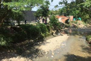
The Colombian National Unit for Disaster Risk Management (Unidad Nacional de Gestión del Riesgo de Desastres, UNGRD) has recently published the “Colombia Risk Atlas: Revealing Latent Disasters”. The publication strengthens the understanding of disaster risks at the national and regional level, in line with the Sendai Framework for Disaster Risk Reduction 2015-2030.
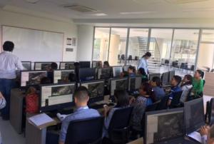
The Atlas highlights different studies and technological innovations related to natural and technological hazards as well as statistical methods to measure risk for decision-making in the Colombian context. It includes maps that help understand and manage seismic activity, floods, tsunamis, tropical cyclons, forest fires, landslides and droughts among other disasters in Colombia. Moreover, it could be used as a tool to identify the municipalities that need to be studied in detail…
more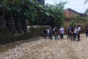


")
")

")
")
")
.")

")


")


")


