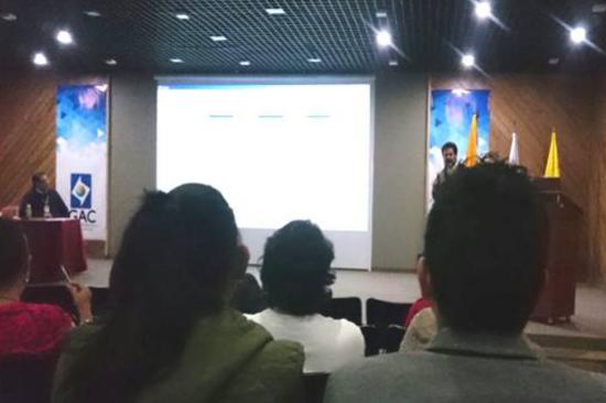
The Agustín Codazzi Geographic Institute -IGAC, through its Center for Research and Development of Geographic Information (CIAF), conducted a workshop on 27 October 2016 on the use of satellite information in early warning systems to deal with drought phenomena. The workshop was attended by professionals from entities including the National Institute of Innovation and Transfer in Agricultural Technology of Costa Rica (INTA), and the Agricultural Planning Unit - UPRA of Colombia.
This workshop included in the generation of drought maps based on the application of spectral indexes such as: the Vegetation Condition Index (VCI) and the Standard Vegetation Index (SVI), using the R software. The development of this workshop was based on the recommended practices for drought monitoring from the Vegetation Condition Index, practices that are linked to the UN-SPIDER SEWS-D (Strengthening Early Warning Systems for Drought) pilot project.
The training was conducted by GIS specialists Sergio Alejandro Rojas and Osman Javier Roa, members of the Research Group on Remote Sensing and Geographical Applications of the CIAF office. The purpose of the workshop was to provide the participating entities a series of guidelines related to digital image processing for the MODIS sensor, in order to achieve the early identification of areas affected by drought phenomena in a national territory; with the purpose that these entities strengthen their risk management schemes for droughts and optimize their efforts in early warning systems.
For more information please contact: sergio.rojas [at] igac.gov.co (sergio[dot]rojas[at]igac[dot]gov[dot]co), osman.roa [at] igac.gov.co (osman[dot]roa[at]igac[dot]gov[dot]co), and nelson.nieto [at] igac.gov.co.