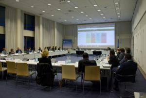
The United Nations Office for Outer Space Affairs (UNOOSA), in collaboration with the German Space Agency at DLR, the United Arab Emirates, and Peru, has officially opened registration for the World Space Forum 2024. Scheduled to take place at the UN Campus in Bonn, Germany, from 3-5 December 2024, the event will center on the theme "Sustainable Space for Sustainability on Earth."
The forum aims to leverage space solutions for sustainable development, aligning with the "Space2030 Agenda" and the forthcoming "Pact for the Future," which will be agreed upon at the UN General Assembly this September.
Key Highlights of the Forum
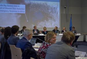
- Dialogue on Space & the Future: Participants will explore the space-related sections of the Pact for the Future and the role of the UN Committee on the Peaceful Uses of Outer Space (COPUOS).
- Implementing the…


")


; UNOOSA Director Ms. Simonetta Di Pippo; and Prof. Klaus Greve from the Centre for Remote Sensing of Land Surfaces (ZFL) at the University of Bonn.")
; UNOOSA Director Ms. Simonetta Di Pippo; and Prof. Klaus Greve from the Centre for Remote Sensing of Land Surfaces (ZFL) at the University of Bonn.")
. Image: Veronika Hohenegger/LRZ.")


.")
")
")
")
")