![]()
United
Nations
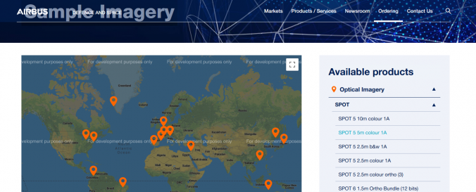
AIRBUS data set
| Data provided by: | Airbus Defence & Space |
| Data accessibility: | export data |
| Link to the data: | |
| File type: | GeoTIFF |
| Data type: | elevation, satellite data or aerial image |
| Hazard: | Forest Fire, Insect Infestation, Severe Storm, Volcanic Eruption, Earthquake, Epidemic, Extreme Temperature, Flood, Drought, Harmful Algal Bloom, Mass Movement, Tsunami, Pollution |
| Disaster cycle phase: | Disaster Risk Management, Response, Recovery |
| Space-based Information: | Pleidas, TerraSar-X, SPOT and Elevation data available commercially from airbus, certain sample data sets at various locations available for free. |
| Satellites and Sensors: | SPOT 1, SPOT 4, TerraSAR-X, Pléiades-1A |
| Spatial coverage: | Global |
| Spatial resolution: | 0.3m, 0.5m, 0.7m, 1m 10m, 20m, 40m |
| Temporal coverage: | Near-real time |
| Costs: | paid |
| Restrictions/ Citation of the dataset: |
Provider
![]()