![]()
United
Nations
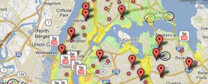
Crisis Map (Google)
| Data provided by: | |
| Data accessibility: | visualization of data (e.g. web GIS or real time monitoring) |
| Link to the data: | |
| Data type: | hazard specific data |
| Hazard: | Drought, Earthquake, Extreme Temperature, Flood, Forest Fire, Pollution, Severe Storm |
| Disaster cycle phase: | Response, Recovery |
| Spatial coverage: | Global |
| Temporal coverage: | Near-real time |
| Costs: | free |
Provider
![]()