![]()
United
Nations
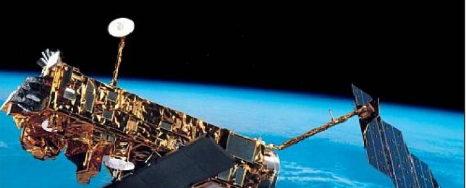
Envisat/ASAR imagery (ESA)
| Data provided by: | European Space Agency (ESA) |
| Data accessibility: | export data |
| Link to the data: | |
| Requirements: | Submission of Project Proposal is required for Restrained Datasets |
| Data type: | satellite data or aerial image |
| Hazard: | Epidemic, Forest Fire, Drought, Mass Movement, Earthquake, Tsunami, Volcanic Eruption, Flood, Severe Storm, Extreme Temperature, Pollution |
| Disaster cycle phase: | Disaster Risk Management, Response, Recovery |
| Space-based Information: | Envisat/ASAR |
| Spatial coverage: | Global |
| Spatial resolution: | 30.00 |
| Temporal coverage: | Archive |
| Content dates: | 18 October 2002 - 8 April 2012. |
| Technical Specifications: | |
| Costs: | free with restrictions |
| Contact: | Contact ESA |
| Restrictions/ Citation of the dataset: | Link to the submission area for Project Proposal can be found here. Terms and Conditions for the utilization of ESA data. Terms and conditions for the utilization of ESA Third Party Missions Data.
|
Provider
![]()