![]()
United
Nations
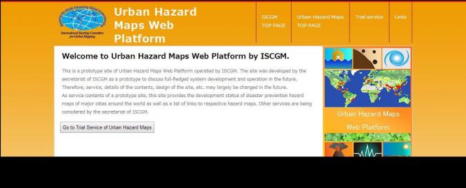
Urban Hazard Map Web Platform (ISCGM)
| Data provided by: | International Steering Committee for Global Mapping (ISCGM) |
| Data accessibility: | visualization of data (e.g. web GIS or real time monitoring) |
| Link to the data: | |
| Data type: | hazard specific data |
| Disaster cycle phase: | Disaster Risk Management, Response, Recovery |
| Spatial coverage: | Global |
| Temporal coverage: | Archive, Near-real time |
| Costs: | free |
| Contact: | Contact form ISCGM |
| Restrictions/ Citation of the dataset: | Currently only a trial Urban Hazard Maps available. These can direct you to other pages were the full maps are available. |
Provider
![]()