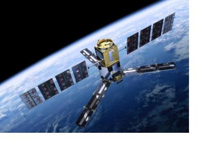
ESA’s SMOS satellite has clocked up more than one billion kilometers orbiting Earth to improve our understanding of our planet’s water cycle.
Marking its fifth birthday, all the data collected over land and ocean have been drawn together to show how moisture in the soil and salinity in the ocean change over the year. Carrying a novel sensor, it captures images of ‘brightness temperature’. These images correspond to microwave radiation emitted from Earth’s surface and can be related to soil moisture and ocean salinity, which are two key variables in Earth’s water cycle.
The data that has been collected by the satellite has been used to show, among other things, how the moisture in the soil changes with the seasons around the world and in different geographical locations. This data has also been used to show monthly differences in sea-surface salinity with respect to the average salinity.
While these results are of interest to understanding aspects of the water cycle, information from SMOS is being used for a number of practical applications. These results are helping to improve air temperature and humidity forecasts near the surface and the observations of the satellite are also helping on improving the prediction of rain. On the other hand, the novel satellite measurements are also helping regions lacking the appropriate technology in forecasting and monitoring events such as drougths and crop yields.

