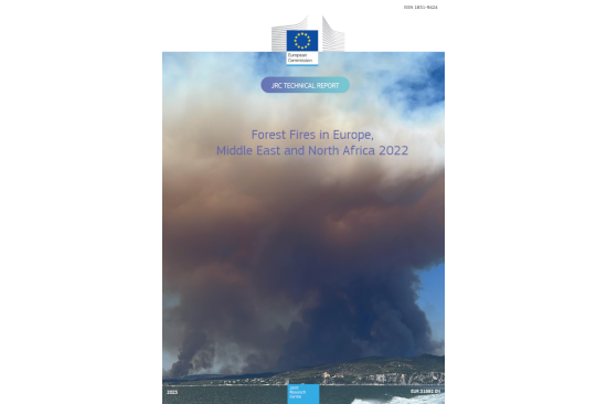
In 2022, the European Union (EU) experienced the second-worst year for wildfires, with an area equivalent to Corsica being scorched, according to a report from the Joint Research Centre (JRC). This marks the third consecutive year of unprecedented wildfire events causing significant environmental and economic damage, along with tragic loss of life. Human actions are responsible for 96% of the fires, exacerbated by heightened fire danger conditions resulting from climate change.
The report reveals that nearly 900,000 hectares of land were burnt in 2022, including approximately 365,000 hectares belonging to Natura 2000 sites, which represent EU biodiversity reserves. This makes 2022 the second-worst year since monitoring began in 2000, with 2017 holding the record for the most extensive damage. The Natura 2000 network, crucial for biodiversity, saw about 43% of the total burnt area in 2022, marking the highest in a decade.
Data for 2023 indicates that wildfires have already consumed around 500,000 hectares of natural land in the EU, including the largest single wildfire in Alexandroupolis, Greece. The year has witnessed challenging wildfires in various EU countries, such as Portugal, Spain, Italy, and Greece, with difficult containment due to high temperatures, intensity, and speed.
Satellite technologies play a crucial role in monitoring wildfires by providing a comprehensive and real-time view of affected regions. These technologies enable the detection of fire outbreaks, tracking fire progression, and assessing the extent of burned areas. Satellites equipped with thermal infrared sensors can detect heat signatures, allowing for early identification of wildfires even in remote or inaccessible areas. Optical sensors capture high-resolution images, aiding in the assessment of smoke plumes, fire intensity, and potential threats to surrounding ecosystems or communities. Moreover, satellite data contribute to creating detailed maps of burnt areas, helping authorities and firefighting agencies plan and allocate resources effectively. The integration of satellite information into monitoring systems, such as the European Forest Fire Information System (EFFIS) or the global equivalent, the Global Wildfire Information System (GWIS), enhances the overall situational awareness and facilitates timely response measures to mitigate the impact of wildfires.
Source: European Commission, Joint Research Centre, San-Miguel-Ayanz, J., Durrant, T., Boca, R. et al., Forest fires in Europe, Middle East and North Africa 2022, Publications Office of the European Union, 2023, https://data.europa.eu/doi/10.2760/348120