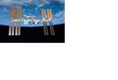
A new concept that involves mounting an instrument on the International Space Station (ISS) and taking advantage of signals from navigation satellites could provide measurements of sea-surface height and information about features related to ocean currents.
The so called GEROS-ISS project is the winner of a call for proposals of the European Space Agency ESA, evolved from the decision to use the opportunities of the ISS more extensively. GEROS-ISS stands for GNSS reflectometry, radio occultation and scatterometry on board the ISS.
The idea is to install an instrument with an antenna on the Space Station that would capture signals directly from these satellites as well as signals that are reflected or scattered from Earth. This process could be used to calculate the height of the sea surface, and to measure waves – or ‘roughness’ – that can then be used to work out the speed of surface winds.
If this new approach will be taken beyond the testing phase, it would be the first concept to assess the potential of spaceborne GNSS reflectometry to determine and map ocean height at scales of 10–100 km or longer in less than four days. Current satellite altimeters, in comparison, offer global maps at scales of around 80 km, which are produced from multiple datasets every 10 days.
“Being able to use the International Space Station in this way means that we can quickly validate innovative observing techniques without having to build an entire satellite, and we expect this to lead to new opportunities for science,” said Michael Kern, ESA’s GEROS-ISS mission scientist.

