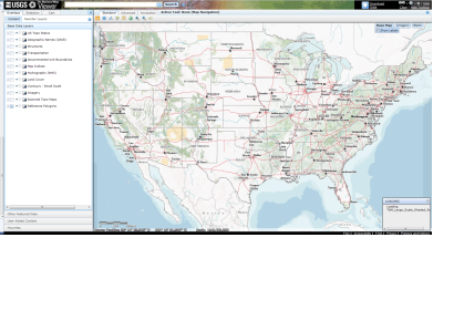
The U.S. Geological Survey (USGS) is examining the restoration of its popular volunteer mapping program, The National Map Corps. In light of swiftly changing technical landscapes and increasing uses of social networking, the USGS is exploring a new approach to the volunteer program, and is launching a project to test options for volunteer participation in providing data to The National Map. Volunteer mapping programmes had been suspended in 2008 in order to explore new methods for using volunteer data.
The project involves mapping man-made structures and facilities, such as schools and fire stations, in the state of Colorado. Using an internet mapping application, volunteers can help the USGS update The National Map by correcting or adding information about structures. "Even members of the public who can't tell a sandstone from a rhyolite but have internet access can now help the USGS keep its popular maps up to date through our new experiment in crowd sourcing," said USGS Director Marcia McNutt. "Correctly locating and identifying fire stations, police stations, schools, and hospitals not only makes USGS maps more useful, but can literally save a life."

