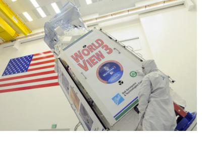
The WorldView-3 satellite sensor has completed a successful year in orbit after its launch on August 13, 2014. During this year it has contributed to disaster and humanitarian efforts in critical situations such as the earthquake that struck Nepal on April 25, 2015.
The advanced fourth-generation satellite WorldView-3 was licensed by the National Oceanic and Atmospheric Administration (NOAA) and contributed to DigitalGlobe’s constellation being its first super-spectral and high resolution commercial satellite.
The satellite sensor’s characteristics include 30 cm panchromatic resolution that collects five times more data than 70 cm imagery; Short-Wave Infrared bands (SWIR) that allow for accurate imaging through haze, fog, dust, smoke and other air-born particles; and eight multi-spectral bands.
These particularities have enabled the contribution to relief efforts in different natural and humanitarian disasters. In response to the 2015 Nepal earthquake, WorldView-3 offered images in a much shorter time than other satellites despite the bad weather conditions.
During the first operating year, WorldView-3 has gathered more than 180 million square kilometers of imagery, in other words, 1.2 of the Earth’s land mass.

