![]()
United
Nations
Inundación
, processed by ESA, CC BY-SA 3.0 IGO.")
Definition
Facts and figures
Further information
UN-SPIDER Regional Support Offices with hazard-specific expertise
Related content on the Knowledge Portal

The government of Niger, in partnership with the World Bank and a team of local volunteers, steps up the gathering of data on Niamey’s exposure to floods using drone and open source data to support disaster preparedness.
The initiative started with a team of volunteers, students and young professionals who used an open source mobile application to build a database on exposed people and assets in Niamey, the capital city.
The team has so far gathered about 15,000 data point on household and infrastructure in the region. Drone African Service, a Nigerien startup has been providing training on the use of drones to acquire high-resolution images of exposed people and facilities. This is further analyzed and modelled for flood risk of the most vulnerable communities, which will be further shared with Nigerien government authorities on the risk data portal.
Drone Africa Services trained the team on digital cartography using OpenStreetMaps and a mobile...
read more26/09/2018 of 2.7 m (i.e., less than one floor) and the share of built-up area could be estimated with a MAE of 13.3 %, when compared to a reference data set.") Publishing institution:
Publishing institution: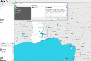
 ,
, 
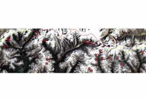
The identification of critical glacial lakes is based on remote sensing method in which several criteria related to glacial lakes, glaciers and physical condition of surrounding area is considered to assess potential for future outburst and possible glacial lake outburst flood (GLOF).
read morePublishing institution: Satellite based flood mapsPublishing institution:
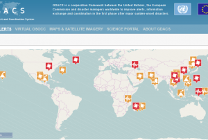 Derived products from various satellites processed by agencies in the field of disaster mapping.Publishing institution:
-
Derived products from various satellites processed by agencies in the field of disaster mapping.Publishing institution:
-
Derived products from various satellites processed by agencies in the field of disaster mapping.Publishing institution:
 After the TAM was conducted in Myanmar, innovative impacts were completed following a recommendation. “Emergency Operation Centre (EOC)”, which is comprised of four units including “Remote Sensing Unit” and “Risk Assessment and Emergency Response Unit” was established in the Ministry of Social Welfare, Relief & Resettlement (MSWRR). The capacity building of MSWRR and other related institutes in remote sensing and GIS were strengthened. The Disaster Management Training Centre now conducts courses in remote sensing/GIS. Myanmar has also become the first country in ASEAN to apply for universal access to the International Charter. Myanmar government is aware of the National Spatial Data Infrastructure (NSDI) and one map policy that has been initiated by the Ministry of Education is very crucial.read morePublishing institution:
 ,
, 
In order to encourage the targeted retrieval of space-based information and data by disaster risk reduction practitioners, content on the Portal is systematically enriched with metadata. For instance, data sources are marked up with data about their file type, satellite/sensor and spatial coverage and whether they relate to the disaster risk management or emergency response phase. The tool features a range of filters that draw on the metadata, thereby allowing users to narrow down their search, for example, filtering available GIS software by hazard type. This ensures that users efficiently find the content that is most relevant to them. At the same time, the Portal encourages the discovery of resources related to those accessed by the user, by providing links to them on the same page. This allows for contextualisation and highlights links between resources...
read morePublishing institution:
Term Parents
UN-SPIDER Regional Support Offices with hazard-specific expertise
![]()