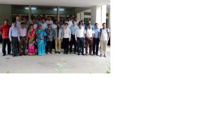
From 5 to 9 April 2015, UN-SPIDER and the Department of Disaster Management (DDM) in Bangladesh jointly organised the five-day course "Earth observation technologies for disaster damage and loss assessment" in Dhaka.
The course strengthened damage and loss assessment by teaching the use of satellite images to contribute to damage and loss assessment. It provided DDM and important stakeholder departments with easy, rapid and accurate ways of assessing damage and loss during disasters using satellite remote sensing. It more specifically imparted skills on using satellite remote sensing for multi-hazard risk assessment, damage assessment of important sectors like agriculture, housing, road infrastructure and demography.
Experts from eight organisations contributed to the training by conducting lectures and hands-on sessions: National Disaster Reduction Center of China (NDRCC), International Water Management Institute (IWMI), International Centre for Integrated Mountain Development (ICIMOD), Nice Sophia Antipolis University, France, Asia Disaster Preparedness Centre (ADPC) , South Asian Association for Regional Cooperation Disaster Management Centre (SAARC-DMC), DigitalGlobe, and Swiss Re. ESCAP also contributed to this programme by sponsoring the expert from SAARC-DMC.

