United
Nations
Office for Outer Space Affairs
UN-SPIDER Knowledge Portal
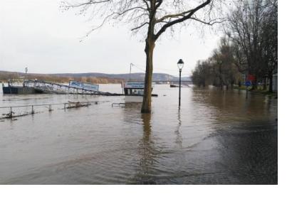
The UN-SPIDER team has utilised radar imagery to track high levels in the Rhine river near Cologne and Dusseldorf between 6 and 8 January 2018.
A combination of heavy rainfall, stormy weather and warmer temperatures than usual led to rising levels in the Rhine River.
By using the UN-SPIDER Recommended Practice on flood mapping and Sentinel-1 data from 6-8 January the team developed maps displaying areas affected by these rising waters between Cologne and Dusseldorf. The radar imagery is typically used to determine or assess the geographical extent of floods because such imagery are not affected by the presence of clouds. The Recommended Practice was developed by the Ukrainian Space Research Institute NASU-SSAU and it is available on the UN-SPIDER Knowledge Portal.
