Out of control wildfires cause extreme long-term damage to the environment, wildlife, flora and property every year. Sentinel-2 imagery provides an accurate post-event analysis of wildfire extents since small areas can be detected and assessed, while at the same time reducing the need for ground surveys on often difficult terrain. In addition, the information obtained can be used to carry out risk assessments of affected and surrounding areas and Sentinel-2 data collected over time can be used to monitor environmental recovery, especially in relation to agriculture and forestry.
This webinar aims to teach the basics of image processing for burned area mapping. It shows how to access the RUS service and how to download, process, analyse and visualise the free data acquired by the Copernicus satellites constellation.
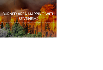
The course employs the ESA SNAP Sentinel-2 Toolbox to demonstrate the burned area mapping methodology on the disastrous wildfires that occurred in central Portugal in June 2017.