![]()
United
Nations
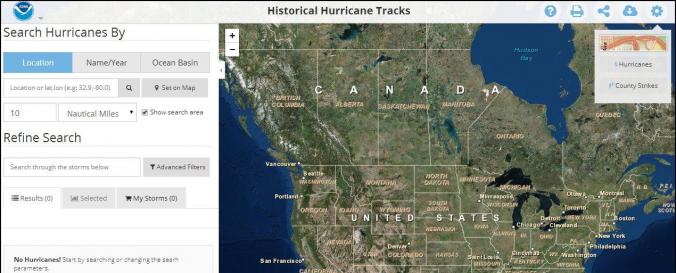
Historical Hurricane Tracks (NOAA-GTWO)
| Data provided by: | National Oceanic and Atmospheric Administration (NOAA) |
| Data accessibility: | export data, export map, visualization of data (e.g. web GIS or real time monitoring) |
| Link to the data: | |
| Data type: | hazard specific data |
| Hazard: | Severe Storm |
| Disaster cycle phase: | Disaster Risk Management, Response, Recovery |
| Spatial coverage: | Global |
| Temporal coverage: | Archive |
| Costs: | free |
| Contact: | Contact Form |
| Restrictions/ Citation of the dataset: |
|
Provider
![]()