The International Working Group on Satellite-based Emergency Mapping (IWG-SEM) is a voluntary group of organizations involved in satellite-based emergency mapping. It was founded in order to improve cooperation, communication and professional standards among the global network of satellite-based emergency mapping providers. The chairperson of the group is nominated for a term of one year and is responsible for organizing the monthly telecons and bi-annual meetings.
The current chair is from the Asian Institute of Technology (AIT), Thailand.
The group meets twice a year in person, at venues arranged by meeting participants. These meetings are forums for reviewing what has been accomplished to date and to define the steps forward. The regular monthly teleconferences are held to monitor progress on actions and for discussions on particular matters of interest to the group.
Vision and Mission of IWG-SEM
During the first meeting in April 2012, the group defined its general direction through the following vision:
“Supporting disaster response by improving international cooperation in satellite-based emergency mapping.”
Its working program was defined by this mission statement:
“Establish best practices between operational satellite-based emergency mapping programs, stimulate communication and collaboration, support the definition of emergency mapping guidelines, strengthen the sharing of expertise and capacities and review relevant technical standards as well as protocols. Work with the appropriate organizations to define professional standards for emergency mapping.”
Membership Policy
The International Working Group on Satellite-based Emergency Mapping (IWG-SEM) is open to membership by representatives of all organizations active in satellite emergency mapping.
Active membership is revised at the biannual meetings based on criteria 5 and 6 below. The first review was conducted in the autumn 2016 meeting. Those who do not meet the below criteria for active membership are moved to “Observer” status. After a longer period of inactivity, Observers can also be excluded from the Working Group.
Membership criteria:
- Adherence to an open-collaborative spirit, as well as to the fundamental principles defined in the Guidelines (current reference page nr. 5, draft version 1.0)
- An entity should be actively involved in emergency mapping or in related data provisions or have a strong interest in these topics, and should embrace the vision and mission of the IWGSEM
- Standards and recommendations are accepted, implemented or further promoted by the entity when and where appropriate
- Entity keeps abreast of the Working Group’s efforts and decisions
- In addition, participating in one-third of the telecons per year is required
- Also, a minimum of one participation in biannual meetings (physically or webbased) per year is expected.
Observers: All members not satisfying the above criteria 5 and 6 at a regular review will be considered Observers until further notice. New entities are also welcome to participate initially as Observers.
Please contact czaran [at] unoosa.org (subject: info%20on%20iwg-sem) (IWG-SEM email) for additional information on IWG-SEM membership and activities.
Public Documents
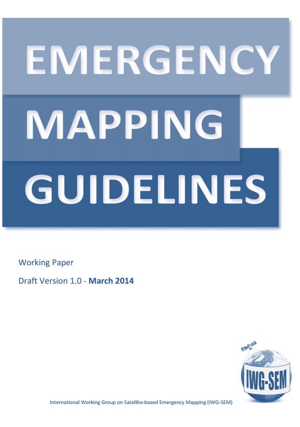 IWG-SEM compiled its first deliverable - Emergency Mapping Guidelines. The aim of the guidelines is to help support an effective exchange and harmonization of emergency mapping efforts leading to improved possibilities for cooperation amongst involved Emergency Mapping Organizations. This will facilitate the convergence of the mapping procedures and thematic content across production teams in response organizations, especially in the early response phases of disaster events. By enabling easier exchange, merging and quality checking of individual data/information layers generated by more than one Emergency Mapping Organization, the final goal of enhancing coordination and community effectiveness can be achieved among those willing to engage.
Version 1 of the Guidelines was launched in December 2015 and was reviewed at the end of 2016.
The general Guidelines document is complemented by disaster-specific guidelines chapters found in part 3 of the document. The floods-specific chapter is already included with this Version 1 release, and the Working Group is now developing an earthquake-specific chapter as well. Any suggestions, resources or contributions from the community are welcome for these efforts.
*NEW* IWG-SEM White Paper: Rapid Mapping and Early Warning Systems, Version 1
GeoRSS Technical Specifications
IWG-SEM has worked on technical specifications for GeoRSS feeds. The objective of providing geo-feeds is to quickly exchange information on mapping activations in order to improve the cooperation of emergency mapping agencies already even before the acquisition of data. Two types of feeds will be implemented: GeoRSS with basic and initial information on the mapping activation. Further feeds to contain more technical details like AOIs, possibly satellite footprints, etc. The content and format of first feed has been developed and confirmed during several telecons and during the 2014 Munich meeting. The technical specifications are available here.
Meetings
19-20.09.2011 DLR, Hohenkammer, Germany
16.-17.04.2012 JRC, Ispra, Italy
15.-16.10.2012 GEO, Geneva, Switzerland
22.-23.04.2013 ITHACA, Torino, Italy
10.-11.10.2013 USGS, Washington, USA
20.-21.05.2014 DLR, Oberpfaffenhofen/ Munich, Germany
25.-26.11.2014 DLR, Oberpfaffenhofen/ Munich, Germany and web-based
28.-29.05.2015 UN-SPIDER, Bonn, Germany and web-based
09.-10.11.2015 UN-SPIDER, Vienna, Austria and web-based
09.-10.06.2016 Spring Meeting UNOOSA, Vienna, Austria
19.-20.09.2016 Fall Meeting ZGIS, University of Salzburg, Austria
15.-16.11.2017 Fall Meeting e-GEOS, Rome
26.10.2018 Fall Meeting UN-SPIDER, Beijing, China
Aggregator of Emergency Mapping GeoRSS Feeds
Based on the above GeoRSS technical specifications, several emergency mapping entities are sending GeoRSS feeds with basic and initial information on their current emergency mapping activation. As a member of IWG-SEM, the Joint Research Center of the European Commission (JRC) has implemented the below feed aggregator as a convenient tool to get a quick overview on current emergency mapping activities. This facilitates the exchange of information and collaboration already at an early stage of the activation. The IWG-SEM encourages all emergency mapping entities to send GeoRSS feeds based on the above technical specifications and to share the link to their feed with the Chair of the working group.