![]()
United
Nations
Hazard Manager (Met Office)
| Data provided by: | Met Office |
| Data accessibility: | export data, export map, statistical data (e.g. graphs), visualization of data (e.g. web GIS or real time monitoring) |
| Link to the data: | |
| Requirements: | Before you can access the service you will need to register. |
| Data type: | hazard specific data |
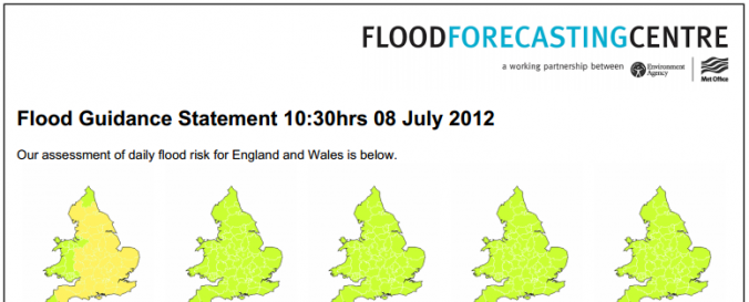
| Hazard: | Flood, Forest Fire, Pollution, Severe Storm |
| Disaster cycle phase: | Disaster Risk Management, Response, Recovery |
| Spatial coverage: | United Kingdom of Great Britain and Northern Ireland |
| Temporal coverage: | Archive, Forecasted, Near-real time |
| Costs: | free with restrictions |
| Contact: | Contact Met Office |
| Restrictions/ Citation of the dataset: | Anyone who works for a Category 1 or Category 2 organisation (as defined in the Civil Contingencies Act 2004) can access Hazard Manager. However, some of the services available through this portal will be restricted to approved users. For example, Flood Forecasting Centre (FFC) products are only available for England and Wales, and FireMet and CHEMET are only available for subscribed users. |
Provider
![]()