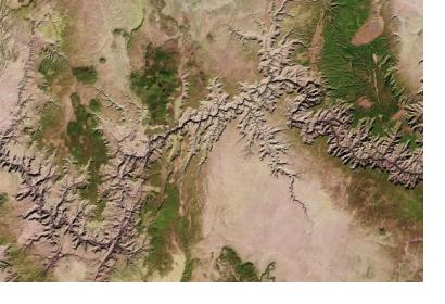
In 2008, Landsat Earth observation images became available to all users free of charge. Since then, the United States Geological Survey (USGS) portal has provided roughly 30 million Landsat Earth observation images for users to download. Within the next years, downloads of satellite imagery are expected to increase further.
Landsat imagery is useful in different fields such as environmental monitoring, disaster risk reduction and disaster management, resource management, climate change, as well as to track population developments. Landsat imagery enables knowledge on land and resources, which is essential for governments and economies.
Today, more than 30 countries possess Earth observing satellites worldwide. Current trends show an increase in cooperation between national governments and public organizations and an increased access to imagery through the adoption of open data policies. Recently USGS signed agreements with Mexico on the use of land-surface satellite data, with the European Commission on the exchange of sentinel data of the European Copernicus programme, with Australia's national geological survey Geoscience Australia as a way to maximize remote sensing operations.
In the context of the upcoming United Nations Climate Change Conference of Parties to take place in Paris, USGS Secretary Sally Jewell stressed the importance of data sharing: “Science and reliable data need to be at the heart of policy decisions around the globe if we are to tackle climate change and other serious environmental challenges facing our world”. Furthermore, when signing an agreement with the National Institute of Statistics and Geography of Mexico (INEGI), Secretary Jewell noted that “It is vital that we share the trusted data that comes from Earth observation so citizens, scientists, and political leaders everywhere can most effectively work together to meet these most difficult challenges.”

