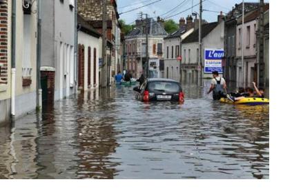
Massive floods recently affected Europe and the United-States. In the case of the United States, the Integrated Multisatellite Retrievals for GPM (IMERG) system - using data from the National Aeronautics and Space Administration (NASA) and from the Japan Aerospace Agency (JAXA) - recorded rainfalls triggered by tropical depression Bonnie.
Excessive rainfall affected different regions of Texas, Oklahoma and South Carolina in the United States. On the 31st May 2016, the International Charter on Space and Major Disasters was activated at the request of the U.S. Geological Survey on behalf of the Texas Division of Emergency Management. This tropical cyclone caused the death of at least nine persons and flooded hundreds of homes.
For the European continent, the emergency management system Copernicus, which is funded by the European Union (EU), was activated. Many regions of Belgium, France and Germany have been flooded. According to Stéphanie Battiston, the Deputy Head of SERTIT, a program which produces maps of affected areas using satellite imagery, the use of space-based information helped "not just to calculate the size of the rescue teams that they would need on the field, but also to know where to send them exactly, or where are the priorities".

