The issue of early warning systems in case of extreme weather events is currently being discussed at the 69th Session of the World Meteorological Organization (WMO) Executive Council in Geneva, which will run till 17 May.
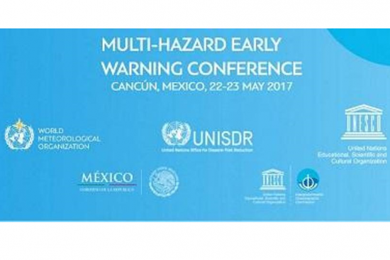
The principal topic of this session is strengthening weather and climate services to protect lives, property and economies from extreme weather. WMO Secretary General, Petteri Taalas, highlighted enhanced partnership and cooperation between UN agencies to meet the needs of development and humanitarian agencies in times of increased extreme weather events, exacerbated by climate change. Over the last 40 years, extreme weather events, such as severe storms, floods, heatwaves and drought, have doubled. Early warning systems as well as effective national weather services link predictable weather and climate events to provide warning that are crucial for saving lives and property in case of a natural disaster. Recent improvements in early warning systems, such as use of satellite information or development of hydrological and meteorological services, have reduced the number of fatalities of weather-related disasters. Early warning systems and impact-based forecasting will be discussed at the Multi-Hazard Early Warning Conference in Cancun, Mexico as a part of the Global Platform for Disaster Risk Reduction from 22-26 May 2017. Improvement of early warning systems and reduction of impacts from natural hazards are one of the key aims of the Sendai Framework for Disaster Risk Reduction. To meet this objective, UN-SPIDER, WMO and several national, regional and international organizations launched the International Network on Multi-Hazard Early Warning Systems in March 2015. They highlight the importance of multi-stakeholder cooperation, provide policy relevant advice and facilitate sharing of expertise and good practices. The network will also participate in the Multi-hazard Early warning Conference from 22-23 May in Cancun.
The idea of a potential global alarm system was also discussed at the talks. There is already a European Meteoalarm network-a platform that transmits alerts from national weather services to the general public, explaining the potential impacts of incoming hazards using simple language and color coding. It was created after Cyclone Lothar in Europe in 1999. It is a good example of impact-based forecasting, which means that it not only lists wind speeds, rainfall measures, temperatures etc., but it also explains what this data means in terms of impact on the public.