Today, weather satellites scan the whole Earth, meaning not a single tropical storm or severe weather system goes undetected. The early detection and warnings they provide have saved thousands of lives.
Meteosat data is of unique value to nowcasting of high impact weather in support of safety of life and property.
It has been shown to improve weather forecasts and severe weather warnings which, in turn helps limit damage to property and benefits industry e.g. transport, agriculture and energy.
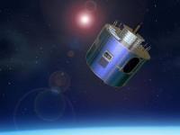
Meteosat-8 operates over the Indian Ocean performing Full Earth scanning. It also provides Search and Rescue monitoring and Data Collection Platform relay service (which includes relay of Tsunami warnings).
Instruments:
GERB (Geostationary Earth Radiation Budget)
MSG Comms (Communications Package for MSG)
SEVIRI (Spinning Enhanced Visible and Infra-Red Imager)