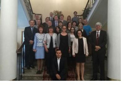
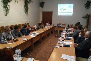
Experts from UN-SPIDER, the United Nations University Institute for Environment and Human Security (UNU-EHS), the Centre for Remote Sensing of Land Surfaces (ZFL) of the University of Bonn, and the Space Research Institute of the National Academy of Sciences of Ukraine and of the National Space Agency of Ukraine (SRI NASU-SSAU) have convened in Kiev for a stakeholder workshop in the context of their joint project “Earth-observation-based Information Products for Drought Risk on a National Basis” (EvIDENz). The event, which takes place form 14 to 16 May, brings together key decision-makers, operational technical audiences from the agricultural sector, the economic and the disaster risk reduction communities, space agencies, and research and technology entities. The objective of the EviDENz stakeholder workshop is to introduce decision-makers and technical staff of several governmental and non-governmental institutions in Ukraine to the workflows developed by ZFL and UNU-EHS to assess the impacts of droughts on crops, and to make them aware of their location in the UN-SPIDER Knowledge Portal. It includes a two-day training on the use of workflows developed as part of the project and aiming to contribute to the assessment of the economic effects of direct crop loss from droughts. Through technical presentations and subsequent discussions, the stakeholder workshop will explore the ways to incorporate the use of the workflows by the Government of Ukraine to report on progress achieved in the implementation of the Sendai Framework, and to gather feedback from decision-makers and from technical staff on the workflows that were developed, their potential use, and suggestions for improvements. **Hands-on training on EvIDENz workflows** The training of technical staff on the use of EvIDENz workflows will be conducted at the National Technical University during the four training segments of the mission. The first segment will make participants aware of the type of Earth observation products and in situ data being used to monitor drought characteristics and crop types. Participants will be taught on how these technologies are used to process and generate particular products. These products include: maps of the vegetation condition index, procedure related to phenology, procedure to generate agricultural drought impact maps, extraction of impact of droughts on maize crops in a particular area of the Kiev region and the calculation of economic losses. After the theoretical background, participants will engage in practical and hands-on training. The second part of the training activity involves participants conducting all steps of the workflow until they reach the final product. Technical explanations are provided to participants as they progress through the steps of the workflows. The third segment of the training activity will be used to present the results of mapping in the entirety of the Kiev region, so that participants can identify how the products are used in a larger area. Technical steps on how to expand the workflows to cover other types of crops and other years are included in the fourth segment on the technical training. The EvIDENz project develops and tests new Earth-observation-based methods to monitor drought hazard characteristics. It is carried out by the Centre for Remote Sensing of Land Surfaces (ZFL), University of Bonn, the United Nations University Institute for Environment and Human Security (UNU-EHS) and the United Nations Office for Outer Space Affairs (UNOOSA) through its Platform for Space-based Information for Disaster Management and Emergency Response (UN-SPIDER) together with partner organizations in South Africa and Ukraine.


