![]()
United
Nations
GEOGloWS Global Streamflow Forecasting (GEO)
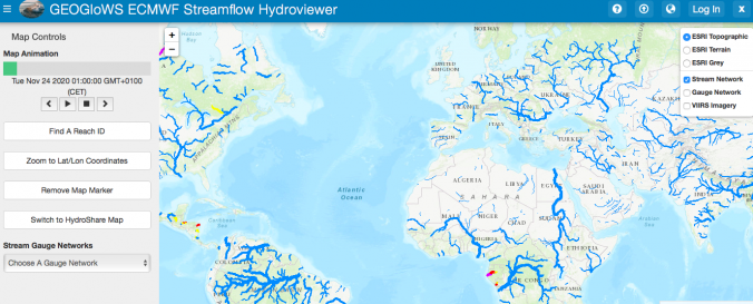
| Data provided by: | GEO-Group of Earth Observation (GEO) |
| Data accessibility: | visualization of data (e.g. web GIS or real time monitoring) |
| Link to the data: | |
| Data type: | hazard specific data, satellite data or aerial image |
| Hazard: | Flood |
| Disaster cycle phase: | Disaster Risk Management, Response, Recovery |
| Spatial coverage: | Global |
| Temporal coverage: | Forecasted, Near-real time |
| Costs: | free |
![]()