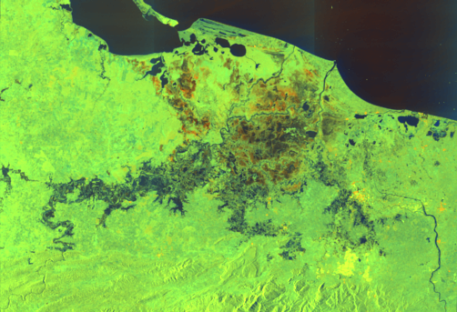
Seasonal cold fronts have brought more rain to several municipalities of Chiapas, in Mexico, which are suffering from the aftermath of Hurricane's Eta and Iota. This has caused flooding and landslides in Ixhuatan, Matzam, Tacuba and Juan de Grijalva. The extent of the landslides are not yet known, as access to some rural communities by road has been cut off.
To support disaster management authorities in Mexico in responding to the floods, UNOOSA, through its UN-SPIDER programme has requested the activation of the International Charter Space and Major Disasters on behalf of the National Disaster Prevention Centre of Mexico (CENAPRED).
The project management for this activation is provided by the Autonomous University of Mexico State (UAEMEX).
| Organization | Title | Product type | Link |
|---|---|---|---|
| International Charter Space and Major Disasters> | Activation 689: Landslide in Mexico | Maps | URL |
| European Commission, Copernicus Emergency Management Service (EMS) | EMSR485: Flood in Chiapas | Maps, vector data | URL |
