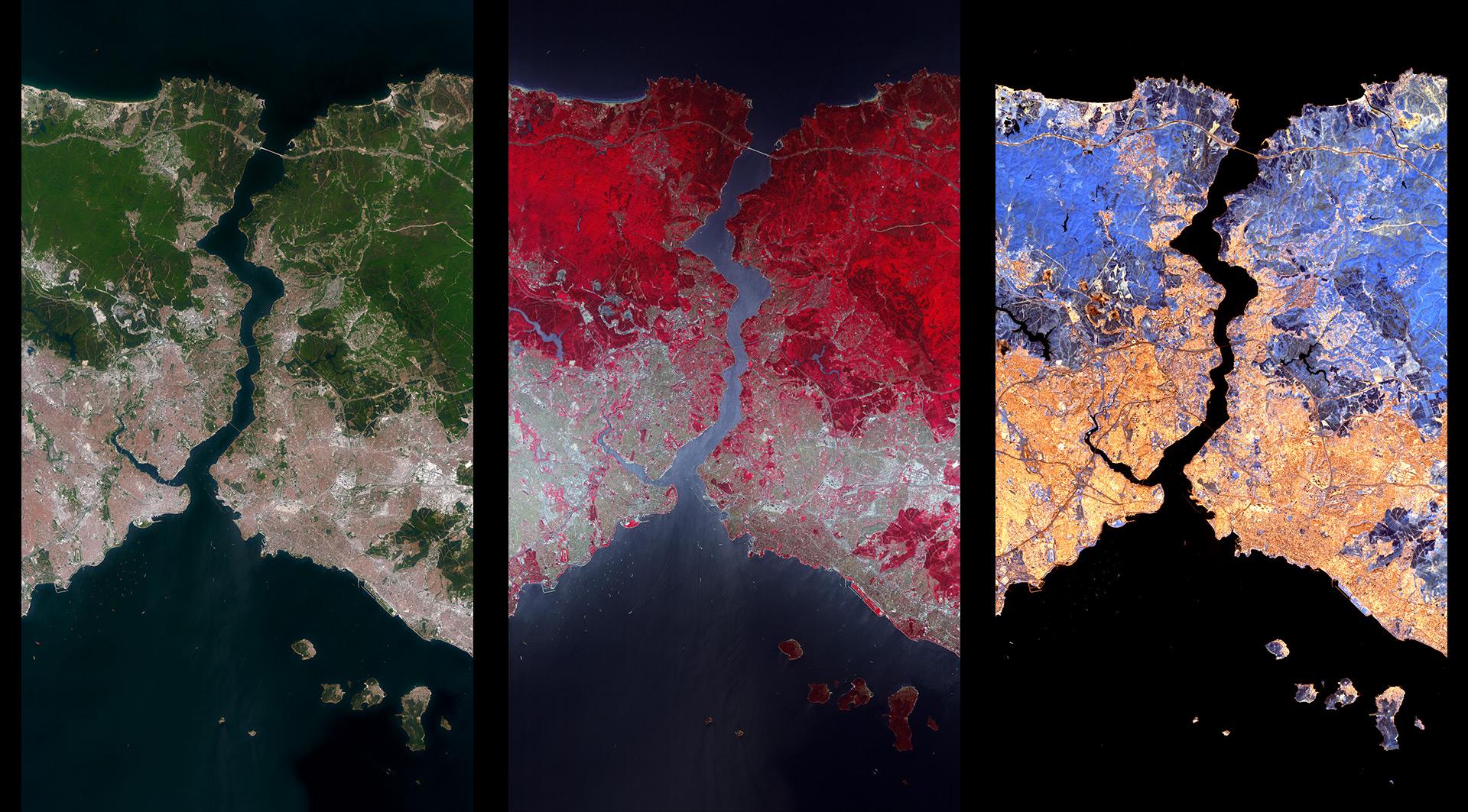
On 1 April EnMAP (Environmental Mapping and Analysis Program) satellite, managed by the German Space Agency at the German Aerospace Center (DLR) launched into space. About one month later now, the first high-resolution satellite images have been received successfully.
The satellite is still in the commissioning phase, in which the hyperspectral instrument is being calibrated and adjusted. The routine acquisition is planned to start later this year. As a hyperspectral satellite system, EnMAP has more than 200 bands, compared to the 13 bands of Sentinel-2, and can make a major contribution to highlighting the consequences of climate change and monitoring the environment. Based on the high number of bands and a good spatial resolution, many new applications and studies can be expected based on data delivered by EnMAP.
See some examples of how the initial data demonstrate the performance of the hyperspectral instrument: