• English
  • Español
  • Français

United
Nations


Office for Outer Space Affairs
UN-SPIDER Knowledge Portal

  • Accueil
  • À propos
    • Qu'est-ce que l'ONU-SPIDER?
    • À propos d’UNOOSA
    • Publications
    • Offres d'emploi
    • Rencontrez l'équipe
    • Contact
  • Applications spatiales
    • Technologie satellitaire
    • Mécanismes d’urgence
    • Recovery Mechanisms
    • Réseau international d'alerte aux astéroïdes
    • Space Mission Planning Advisory Group
    • Initiative internationale sur la météorologie spatiale
    • Les technologies spatiales à l'ONU
    • Comptes-rendus d'utilisateurs
  • Liens & ressources
    • Application de données du mois
      • Disaster Recovery
    • Sources de données
    • SIG et logiciels de télédétection
    • Online Learning Resources
    • Institutions
  • Risques & catastrophes
    • Prévention des risques de catastrophe
    • Systèmes d'alerte précoce
    • Gestion des catastrophes et des interventions d'urgence
    • Aléas naturels
    • Cadre d'action de Sendai
    • L'ONU et la prévention des risques de catastrophe
    • L'ONU et les alertes précoces
    • L'ONU et la gestion des catastrophes
  • Appui technique
    • Missions Conseil
    • Appui d’urgence
    • Appui à distance
    • Pratiques recommandées
    • Activités de formation
    • Utilisations pratiques
  • Réseaux
    • Bureaux régionaux d’appui
    • GP-STAR
    • MHEWS
    • IWG-SEM
  • Projets
    • SPEAR
    • SEWS-D
    • EvIDENz
    • Flood GUIDE
  • Actualités
    • Actualités
    • Événements
    • Événements passés

Breadcrumb

  • Home
  • REACH Publication: Regional Climate Analysis of The Horn of Africa - Leveraging Remote Sensing For Intersectoral Assessments
  • REACH Publication: Regional Climate Analysis of the Horn of Africa - Leveraging Remote Sensing for Intersectoral Assessments

REACH Publication: Regional Climate Analysis of the Horn of Africa - Leveraging Remote Sensing for Intersectoral Assessments

REACH Report

Climate change is increasingly impacting vulnerable populations with climate-related shocks such as floods, droughts, and extreme heat. REACH conducts intersectoral assessments to better understand humanitarian needs in crisis situations and incorporates remote sensing into these studies. This approach aligns with REACH's goal to mainstream climate analysis and transcend the limitations of country-specific research.

The July 2024 report focuses on the Horn of Africa, examining the arid regions of Somalia, northern Kenya, and eastern Ethiopia to assess climate changes and their impacts. By integrating remote sensing with primary data, the report offers valuable insights into identifying potential shocks and verifying conditions, enhancing disaster risk reduction and preparedness in these transboundary zones.

You can find this analysis and other REACH publications in the Impact Initiative Resource Centre.
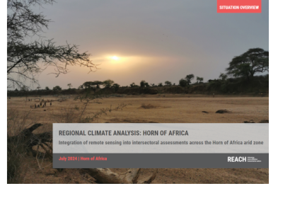
PDF: REGIONAL CLIMATE ANALYSIS: HORN OF AFRICA - Integration of remote sensing …
Wed, 7 Aug 2024 - 11:10

Footer menu

  • Contact
  • Terms of Use

User account menu

  • Log in