United
Nations
Office for Outer Space Affairs
UN-SPIDER Knowledge Portal

As more hydrometeorological early warning systems evolve into impact-based warning systems, satellite technology is increasingly being used to inform risk knowledge for hydrometeorological early warning systems.
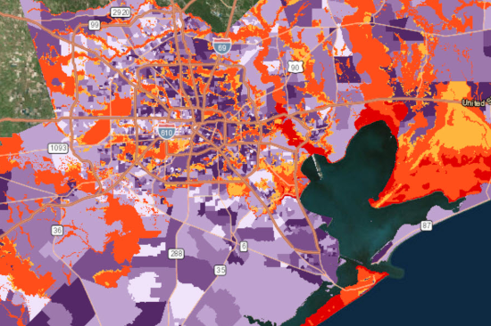
Image as placeholder? https://coast.noaa.gov/digitalcoast/tools/flood-exposure.html
NOAA Office for Coastal Management