By martin.hilljegerdes |

The combined data from different types of satellites will allow forecasters to improve procedures for the forecasting of potentially catastrophic events. One example is the combined use of imagery extracted from Earth observation satellites and high-resolution positioning data from GNSS. The following segment presents information on examples of this combined use of Earth observation satellites and GNSS data in the case of mass movements.
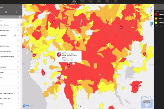
This screenshot from DisasterAWARE Pro shows flood severity warnings at a sub-watershed level generated using NASA’s Model of Models (MoM) for the Congo Basin region of Africa in Oct. 2022. Credits: Pacific Disaster Center, NASA
