
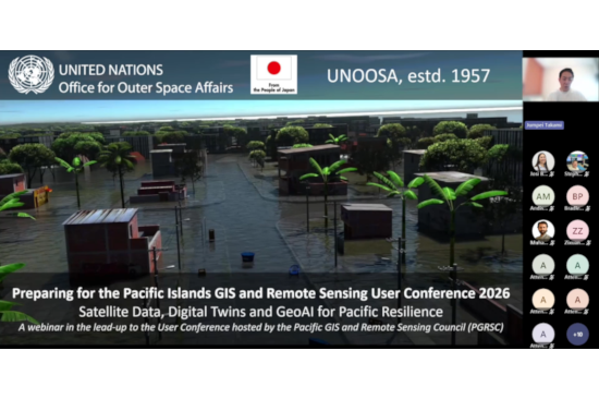
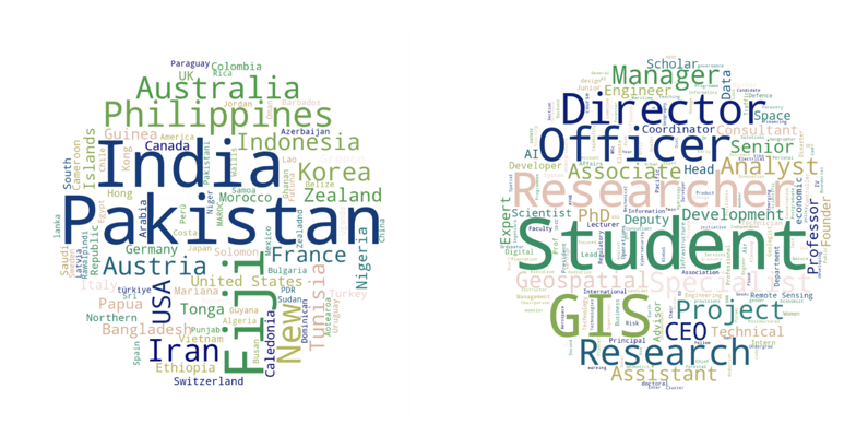
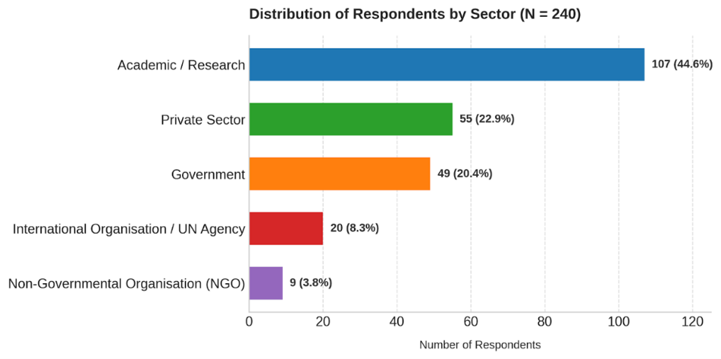
The United Nations Office for Outer Space Affairs (UNOOSA), through its UN-SPIDER (United Nations Platform for Space-based Information for Disaster Management and Emergency Response) programme, together with the Pacific GIS and Remote Sensing Council (PGRSC) co-organized a webinar titled "Preparing for the PGRSC User Conference 2026: Space Technologies, GeoAI, and Digital Twin for Disaster Resilience in the Pacific" on 09 September 2026. The event served as a preparatory activity for the 2026 Pacific Islands GIS and Remote Sensing User Conference (30 Nov – 04 Dec) in Suva, Fiji. The webinar brought together practitioners, decision-makers, researchers, and development partners from across the Pacific region and beyond. The webinar attracted approximately 240 participants from 77 countries, 32 of whom registered from Pacific Island countries. The participants represented universities, government ministries, space agencies, United Nations entities, regional organizations, and the private sector, demonstrating strong interest in the application of space-based technologies for disaster risk reduction and resilience.
In his opening remarks, Brad Eichelberger, Chair of the PGRSC, emphasized the growing importance of geospatial technologies for disaster risk management across the Pacific. Referring to the recent impacts of the recent high-intensity cyclones, earthquakes, and volcanic eruptions, he noted that Pacific Island countries require advanced tools and data to better prepare for, respond to, and recover from disasters. He highlighted that initiatives such as the UN-SPIDER Digital Twin and GeoAI project demonstrate the value of innovative geospatial solutions in strengthening regional resilience and align closely with the theme of the 2026 Pacific Islands GIS and Remote Sensing User Conference and strengthening geospatial network in the Pacific. Mr. Eichelberger also encouraged webinar participants to attend the upcoming PGRSC User Conference in Suva, Fiji, which for more than three decades has served as the region's premier platform for government agencies, researchers, industry representatives, and geospatial practitioners to exchange knowledge and strengthen collaboration.
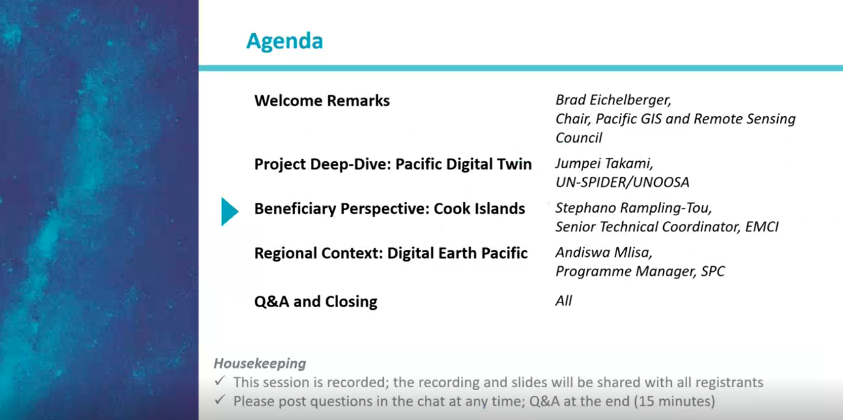
During the webinar, Jumpei Takami of UN-SPIDER/UNOOSA highlighted how the Pacific Digital Twin project, funded by the Government of Japan, is helping countries like Tonga, the Cook Islands and Palau to address critical geospatial data gaps that limit disaster risk assessment and preparedness. He explained that the project combines very high-resolution satellite imagery, elevation models, 3D digital twins, and Internet of Things (IoT) weather stations to create data-driven platforms for disaster risk management. By integrating real-time environmental observations from IoT sensors with digital twin environments, governments can improve monitoring, early warning, and disaster response capabilities. He also emphasized the growing role of GeoAI in processing and analyzing large volumes of geospatial data, supporting applications such as flood simulation, exposure mapping, and risk modelling. According to Mr. Takami, the combination of satellite data, GeoAI, digital twins, and ground-based sensor networks can provide Pacific Island countries with more accurate and actionable information for climate adaptation and disaster resilience planning. He further noted that UN-SPIDER will organize a hands-on workshop in Suva focusing on satellite elevation data, digital twins, GeoAI applications, and related tools to strengthen technical capacities across the region.
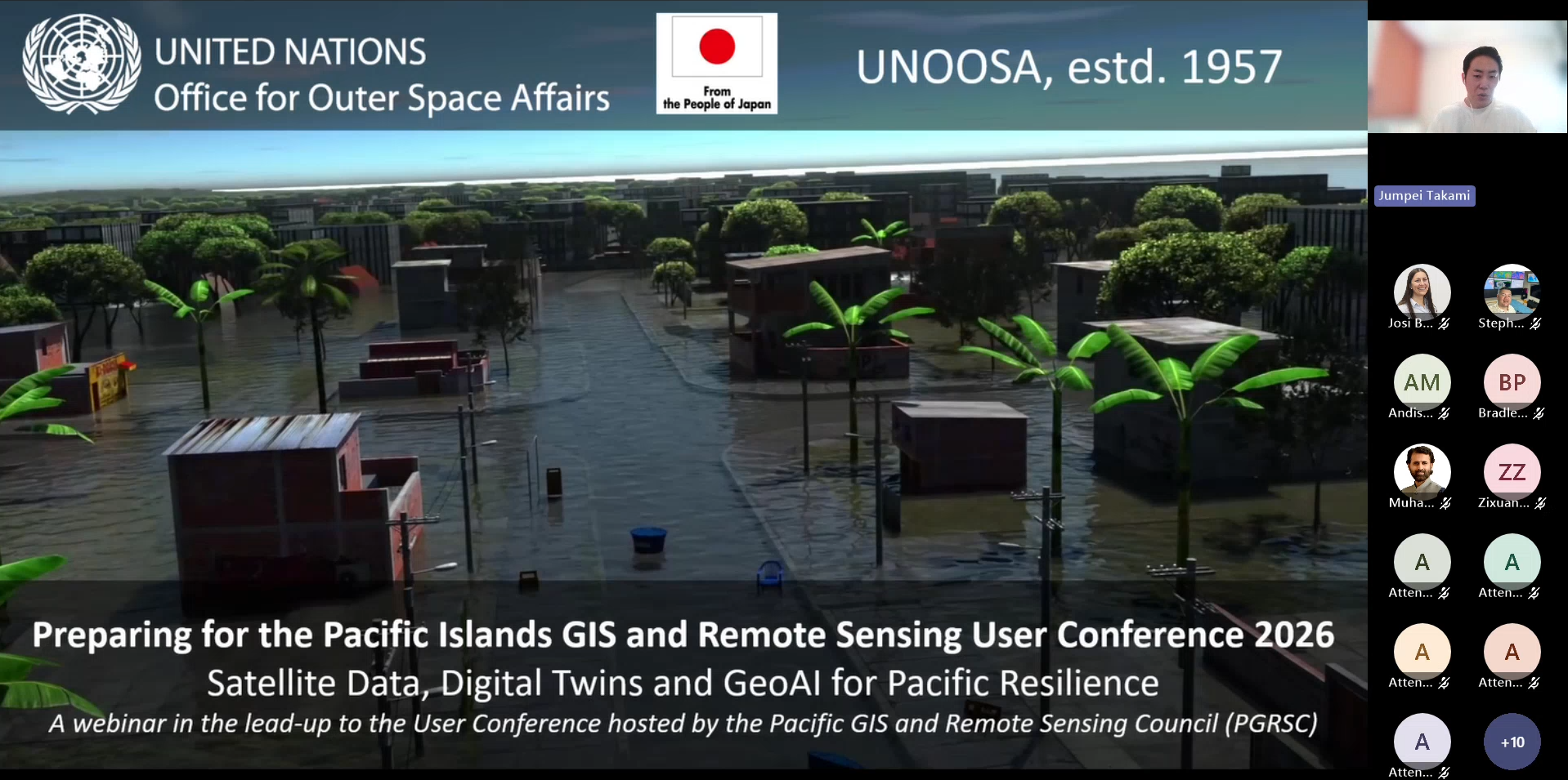
The presentation also underscored persistent geospatial data gaps across many Pacific Island countries, particularly in relation to up-to-date building footprints, elevation information, and high-resolution basemaps. Addressing these gaps is essential for improving risk assessments and supporting evidence-based disaster preparedness and response.
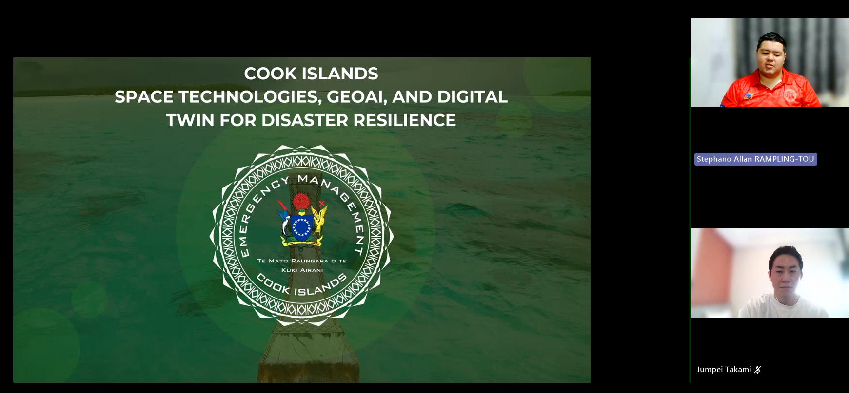
Providing a beneficiary perspective, Stephano Rampling-Tou, Senior Technical Coordinator at Emergency Management Cook Islands (EMCI), showcased how the Cook Islands is leveraging geospatial technologies to strengthen disaster preparedness and response across its widely dispersed islands. He highlighted the integration of live weather station data, satellite imagery, cyclone monitoring, and cloud-based geospatial platforms to support a national common operating picture and improve access to critical information for remote communities. Looking ahead, he explained that, with support from UN-SPIDER and UNOOSA, the Cook Islands is developing a digital twin that combines flood exposure models, satellite imagery, LiDAR-derived elevation data, building footprints, and national exposure datasets to simulate flood scenarios and better understand disaster impacts. The initiative will also integrate IoT weather stations and rain gauge networks to enhance impact-based forecasting, anticipatory action, and risk-informed decision-making. According to Mr. Rampling-Tou, the ultimate goal is to develop a multi-hazard early warning system that uses automation and artificial intelligence to analyze hazard thresholds, trigger alerts, and support timely public warnings through channels such as cell broadcasting, text messaging, siren networks, and social media, thereby improving national resilience and ensuring that even the most remote islands are better prepared for future disasters.
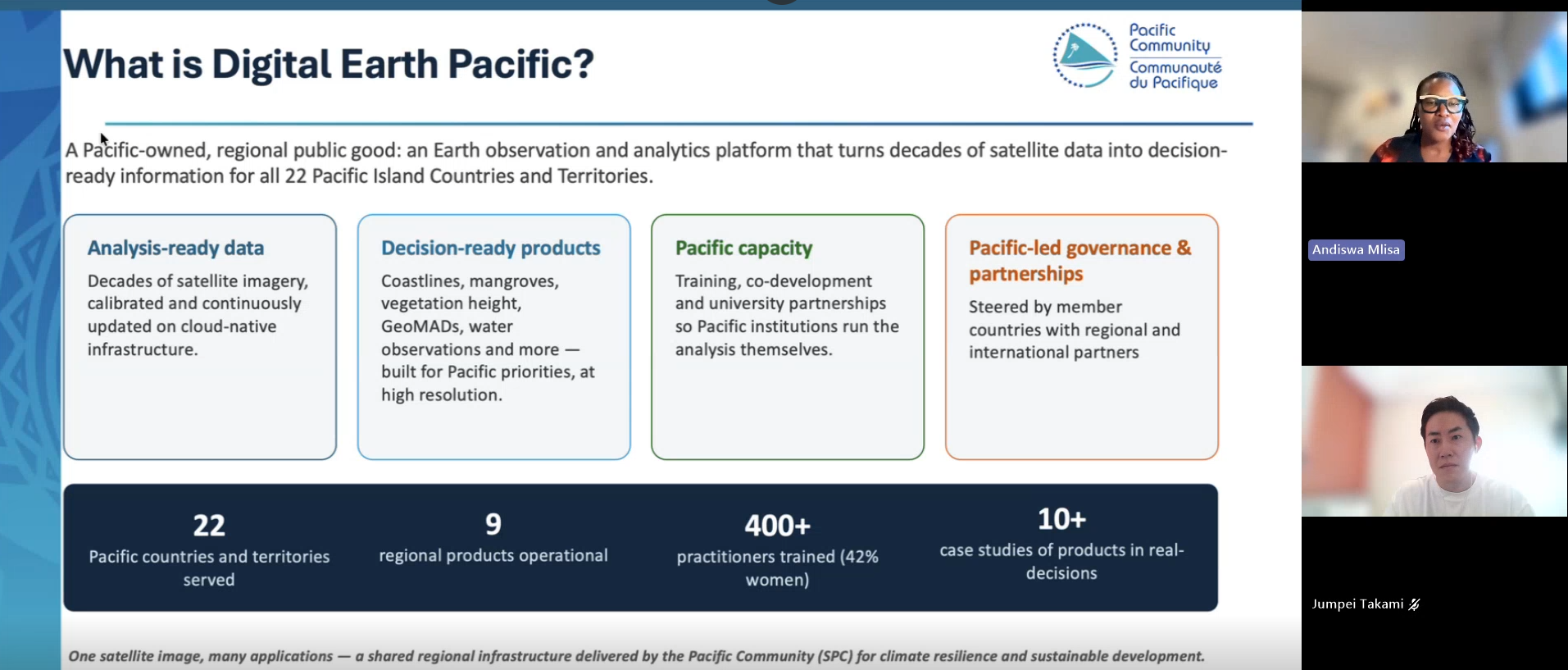
The regional context was provided by Andiswa Mlisa of the Pacific Community (SPC), who introduced the Digital Earth Pacific initiative. As a Pacific-owned regional platform, Digital Earth Pacific provides access to decades of analysis-ready satellite data and decision-ready products designed to support climate resilience and sustainable development across 22 Pacific Island Countries and Territories. The initiative demonstrates how regional cooperation can enhance access to Earth observation data, analytical tools, and technical capacity throughout the Pacific region.
Participants were also encouraged to take part in the Pacific Islands GIS and Remote Sensing User Conference, scheduled to take place in Suva, Fiji, from 30 November to 4 December 2026. The conference, together with a UN-SPIDER technical workshop, will provide opportunities for hands-on learning, knowledge sharing, and regional networking around satellite applications, digital twins, GeoAI, and disaster risk management.
Through initiatives such as the Pacific Digital Twin project and its continued engagement with regional partners, UN-SPIDER remains committed to strengthening the use of space-based information and technologies to support disaster resilience and sustainable development across the Pacific region.
The presentation slides are available here: Webinar Presentations PGRSC.pdf
Registration for the conference is open at 2026 PGRSC User Conference: Pacific Islands GIS & Remote Sensing User Conference | PGRSC
