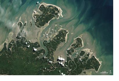
A new survey of barrier islands published earlier this spring offers the most thorough assessment to date of the thousands of small islands that hug the coasts of the world's landmasses. The study, led by Matthew Stutz of Meredith College, Raleigh, N.C., and Orrin Pilkey of Duke University, Durham, N.C., offers new insight into how the islands form and evolve over time – and how they may fare as the climate changes and sea level rises.
The survey is based on a global collection of satellite images from Landsat 7 as well as information from topographic and navigational charts. The satellite images were captured in 2000, and processed by a private company as part of an effort funded by NASA and the U.S. Geological Survey.
During the 20th century, sea level has risen by an average of 1.7 millimeters (about 1/16 of an inch) per year. Since 1993, NASA satellites have observed an average sea level rise of 3.27 millimeters (about 1/8 of an inch) per year. A better understanding of how climate change and sea level rise are shaping barrier islands will also lead to a more complete grasp of how these dynamic forces are affecting more populated coastal areas.
Stutz, the study's lead author, highlighted a series of key findings from the new survey during an interview with a NASA science writer.
- Every barrier island is unique.
- Sea level rise can eliminate -- or create -- barrier islands.
- There are far more barrier islands than previously thought.
- Barrier islands cluster along tectonically calm coasts.
- Northern and Southern hemisphere islands differ.
- Storms are key molders of barrier island shape.
- Arctic barrier islands are retreating the fastest.
- More research is needed, especially on a local scale.

