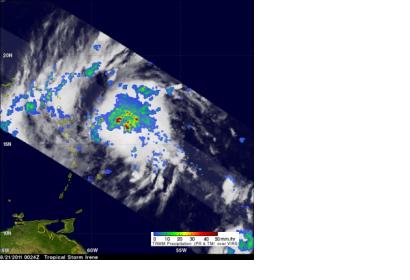
Tropical cyclones develop in various places around the world, all year long, and NASA’s Hurricane Webpage covers them. NASA’s Hurricane Webpage is a resource for meteorologists or weather fanatics, with updates on tropical cyclones happening anywhere around the world, satellite images, the latest research, animations, educational tools, scientist profiles, satellite information and historic storm information, on all storms going back to 2005.
Breaking news alerts on storms are provided through an RSS feed or an email subscription option. Companion NASA hurricane new media products provide additional information and breaking news. The page is managed by Rob Gutro, deputy news chief and a meteorologist in the Office of Communications at NASA’s Goddard Space Flight Center in Greenbelt, Maryland.
NASA’s Hurricane Page also has companion Facebook and Twitter pages. Whenever there are no tropical cyclones, the Facebook and Twitter pages provide information on tropical lows that may or may not have the potential to develop. Those new media outlets provide the opportunity to give a “behind-the-scenes” look at ocean basins.
Storm updates are the central point of the NASA Hurricane Page. They are created daily from official updates from the National Oceanic and Atmospheric Administration’s (NOAA) National Hurricane Center (NHC) and the Joint Typhoon Warning Center (JTWC). Both the NHC and JTWC forecast tropical cyclones use data from various NASA satellites and instruments in their forecast decisions.
The forecasts from NHC and JTWC are used in combination with NASA satellite imagery to create daily updates on tropical cyclones around the world. The satellite data used in the daily updates can come from a variety of satellites, including the Tropical Rainfall Measuring Mission satellite (TRMM), Aqua, CloudSat, the Geostationary Operational Environmental Satellites (GOES), OSTM/Jason-2, Landsat, and Terra satellites. Except for GOES, which is managed by the National Oceanic and Atmospheric Administration, all missions are managed out of NASA Goddard or NASA’s Jet Propulsion Laboratory (JPL). The NASA/NOAA GOES Project Office at NASA Goddard generates images and satellite animations.
For more information, please follow the link to the original article.

