UN-SPIDER celebrates the International Day for Disaster Reduction
"I would have saved many lives if I had had access to satellite image based maps to respond to Cyclone Nargis that hit Myanmar in 2008", stated the Deputy Minister of Social Welfare, Relief and Resettlement, who was in the driving seat to respond to Cyclone Nargis, the most devastating in the living memory of Myanmar resulting in 84,537 deaths, 53,836 persons missing, 2.4 million affected people, as well as damage and losses of approximately 4.1 billion USD.
 Disaster Risk Reduction in Myanmar
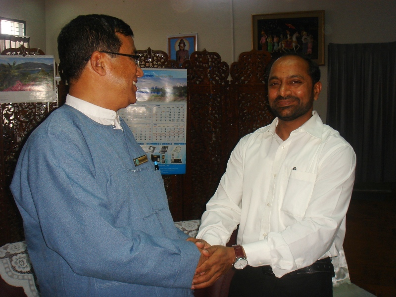
He was talking to the UN-SPIDER Technical Advisory Mission team visiting Myanmar in March 2012. The Mission team visited all agencies assisting this Ministry in disaster management to review current policies, procedures and mechanisms related to the use of space-based information. The experts made recommendations on how to engage key stakeholders who are custodians of geospatial data related to disaster management, how to develop a capacity building strategy for stakeholder agencies, and how to facilitate capacity building programmes and resources available through the UN-SPIDER network.
These observations and recommendations were presented to the Deputy Minister and key officials of the Ministry. Both parties agreed to follow up on the recommendations made based on the principle that “ effective response activities can only be planned if the country organises geospatial information for the purpose of disaster risk reduction and develops capacities to analyse satellite images or use geospatial information to identify underlying risks through hazard/vulnerability/risk mapping”.
 The right information at the right time
The key is to provide “the right information to the right people at the right time”. The unbiased assessment of a disaster situation can be done only with the help of satellite images or aerial photographs. Organised geospatial information (such as land use, agriculture, roads and human settlements) provide first level inputs for damage and loss assessments. It is the most basic information that is required by the decision makers and humanitarian agencies to plan for the resources required to respond to a disaster.
"If you fail to prepare, you prepare to fail" is the notion disaster managers should follow. Effective Disaster Risk Reduction activities call for ‘Information Preparedness”. Unfortunately, Information Preparedness often receives less attention in many developing countries due to a lack of coordination among stakeholder agencies and/or absence of data sharing policies.
The United Nations Office for Outer Space Affairs (UNOOSA), under the framework of UN-SPIDER (United Nations Platform for space-based Information for Disaster Management and Emergency Response), strives to enable countries to improve their Disaster Risk Reduction practices using space-based information and related geospatial information. In addition to the mission to Myanmar, several such Technical Advisory Missions and follow up programmes are carried out in Asia/Pacific, Africa and Latin America. The recommendations of these missions are utilized by the government and international agencies to plan disaster risk management projects and programmes.
 Success Story in Sri Lanka
One of the success stories of using space-based information for disaster reduction is the Disaster Management Centre (DMC) established by the Ministry of Disaster Management in Sri Lanka. DMC officials received a training at the UN Affiliated Centre for Space Science Technology Education in Asia and the Pacific (one of the five Regional Centres coordinated by UNOOSA, based in Dehradun, India). As a result DMC developed Remote Sensing and GIS capabilities for Disaster Risk Reduction and emergency response. DMC has initiated hazard and risk mapping of the main disasters occurring in Sri Lanka.
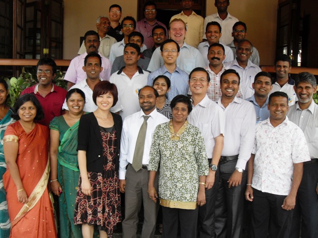
From 17 to 21 October 2011, a UN-SPIDER Technical Advisory Mission team visited Sri Lanka to identify key challenges in the country for the effective use of space technologies in Disaster Risk Reduction. As a follow up, in August 2012, UN-SPIDER organised a training programme in Sri Lanka involving all organizations that are contributing to hazard mapping. International experts from reputed organisations provided training to 25 officials in Sri Lanka on best practices for hazard and risk mapping using space-based and geospatial information.
UN-SPIDER will continue to offer such Technical Advisory Support and capacity building programmes to Member States based on their needs. There are many examples, in which Governments, UN Country Offices and Humanitarian Agencies have effectively used the UN-SPIDER Technical Advisory Mission recommendations to incorporate space-based information in their Disaster Risk Reduction programmes. The trained officials greatly contributed to their organisations’ efforts by applying the Remote Sensing/GIS skills and knowledge they acquired during the training programmes.
The 2012 International Day for Disaster Reduction (IDRR) takes place on 13 October. This year, the United Nations will observe IDDR on Friday 12 October. UN-SPIDER will celebrate the 2012 International Day for Disaster Reduction in Mozambique where the team will carry out a Technical Advisory Mission from 8 to 12 October 2012.
