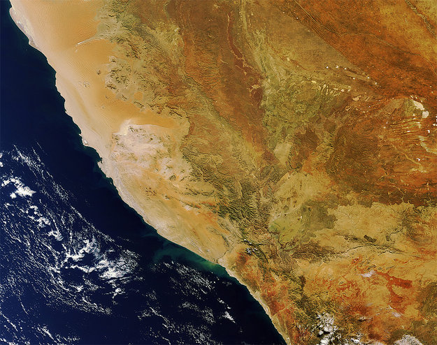
Assessing the economic value of applying geospatial information in Disaster and Risk Management is an essential topic in the VALID project. The crucial issue is to determine, in monetary figures, what difference is made by utilizing specific geoinformation products in specific Disaster Risk Management situations.
In the VALID project, a case study has been carried out by Tessa Belinfante, Vrije Universiteit Amsterdam, demonstrating an innovative Cost Avoidance Approach, by addressing the severe 2009 flooding in Namibia. The results are based on a comprehensive questionnaire which was responded to by Namibian experts and stakeholders (mediated by Mr. Guido Van Langenhove, head of the Namibian Hydrology Department), and by experts from Namibian Early Flood Warning SensorWeb, a pilot project started after the flooding events in 2009, via an international partnership between NASA, UN-SPIDER, Namibia Department of Hydrology, Canadian Space Agency, Ukraine Space Research Institute, German Aerospace Center (DLR), and others.
| Attachment | Taille |
|---|---|
| Tessa Belinfante: VALID Case Study Namibia (286.15 KB) | 286.15 KB |

