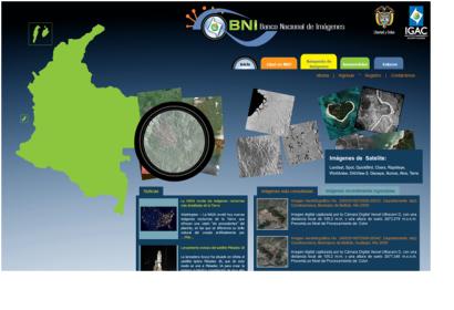
In February 2013, the Agustín Codazzi Geographic Institute in Colombia, host of a UN-SPIDER Regional Support Office, launched a new web site allowing access to the National Bank of Images of Colombia (BNI): http://www.bni.gov.co/portal/public/classic/
The BNI is a union of organizations, policies, standards and technology which works together to produce, share and use geographic and satellite information to foster development in Colombia.Through the internet, the BNI aims to integrate and share data, metadata, web services, cartographic and satellite information around the country, also looking for the optimization of the State investment made in the use and acquisition of satellite and Remote Sensing data.
To accomplish this objective, the BNI relies on the support of each of the state entities that uses geographic information and especially remote sensing information. Most of the images of BNI have multi-user licenses or free licenses and have been acquired through donations or purchases, so images can be shared with all authorized entities.
To access the images, users must identify the image of interest and proceed to request it by sending a letter to the Department of Geography and Cartography of the IGAC including their contact data to ensure timely delivery. IGAC has a multi-user license of the images that can only be accessed by public or educational institutions involved in research projects that bring benefit to any sector of the community.

